Friday, September 28, 2007

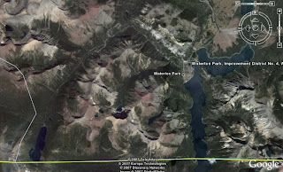
Google Earth image of Waterton area.


After spending a gorgeous, warm sunny, fall day at Head-Smashed-In Buffalo Jump, it seemed that a visit to nearby Waterton Lakes National Park was in order. The park adjoins the much larger Glacier National Park just across the US border in Montana. Together they form

Waterton-Glacier International
Peace Park - A World
Heritage Site


I took a lot of pictures in Waterton because the fall colours were so beautiful, and it was hard to reduce the numbers that I wanted to post here!

One of the first sights you see as you approach the townsite of Waterton is the Prince of Wales Hotel, which sits on a high bluff overlooking the lakes and the townsite. It is one of the most-photographed hotels in North America.
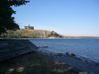


Prince of Wales Hotel


The townsite is quite quaint, with a mixture of modern buildings, and some straight out of the fifties! We spent some time looking around in town, eating at Zum's Eatery, while Harley made friends on the sidewalk.
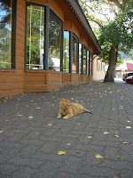
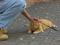


Harley making friends in town.


The road leading out of town towards Cameron Lake gives some good views of the townsite, and down the lake towards the south.
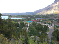
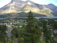


Waterton Townsite from Cameron Lake Road


The road continues on past a separate National Historic Site of the very first oil well in Canada!
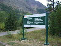
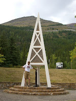


First Oil Well in Canada National Historic Site


The road continues south to Cameron Lake, the south end of which is across the line in the US. A trail leads down the shore, but stops short of leading into some prime grizzly bear habitat.
A plaque there has a map and some informaion on international and interprovincial grizzly management.


Signs on plaque at end of Cameron lakeshore trail.


Along the road there are a number of scenic spots that beg to be photographed, including this small little waterfall.
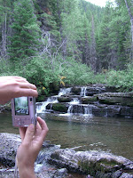


Falls along Cameron Lake Road


Waterton Park Map


Further east in the park is the road to Red Rock Canyon, Crandell campground, and Blakiston Falls.
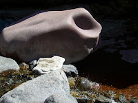
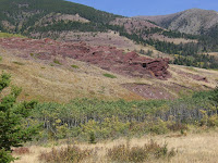
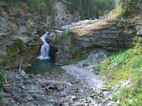


It was a very peaceful area to camp, with inviting slopes to hike and glass all around. It was cool at night and the stars were very bright.


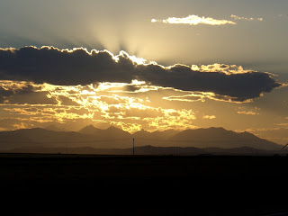
Hiking and sight-seeing took up most of the next day, leading to a rather late departure for home. But on the way, we were rewarded with a spectacular sunset on the highway west of Pincher Creek.


_____________________________________________________________

Remember that most of the photos can be viewed full size by clicking on them. Also check out some of the other links supplied. Waterton area is fairly high resolution in Google Earth, so you can take your own look at the area.
Check out some of the advertisers - if you can still find the ads among all the other content.
There is an e-mail link, and a comment link if you wish to comment on anything or ask questions.

Thursday, September 20, 2007


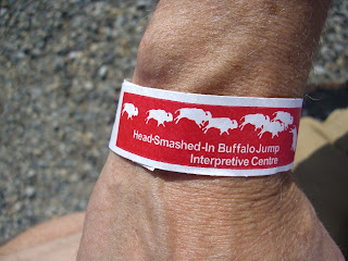
Head-Smashed-In Buffalo Jump armband.


Wow. I can't believe it is almost two weeks since the last update here. How time flies in the fall!


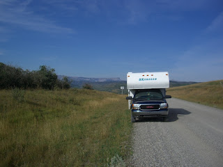
Well, the last trip did not end with camping at Abraham Lake, it continued on to the south. Way down to the south west part of the province.


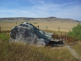
Glacial erratic west of Fort Macleod


Near Chain Lakes Provincial Park on Hwy #22.


There were still several days off to use up, so it was decided to head through Calgary and on down the Cowboy Trail to Longview, home of country star Ian Tyson and his coffee shop, the Navajo Mug!


Navajo Mug in Longview, AB.


Then, continuing south to Pincher Creek,


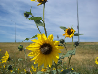
Flowers in Pincher Creek


and east to Fort Macleod we visited the Unesco World Heritage Site, the Head-Smashed-In Buffalo Jump


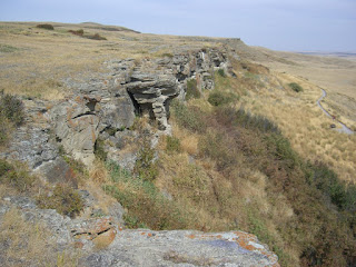
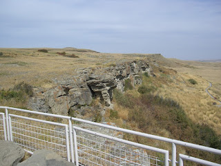
Located 18 km north & west of Fort Macleod, Alberta, Canada at a place where the foothills of the Rocky Mountains meet the great plains, one of the world's oldest, largest and best preserved buffalo jump's known to exist -- Head-Smashed-In. Designated as a UNESCO World Heritage Site in 1981, Head-Smashed-In has been used continuously by aboriginal peoples of the plains for more than 5,500 years.


These photos were taken in and around Head-Smashed-In interpretive centre, showing the actual cliffs that buffalo were driven over. There are many feet of accumulated bones at the base of these cliffs.

Next installment: Waterton Lakes National Park (coming soon, I hope :-)

Friday, September 7, 2007

I like to spend some time camping on weekends that are not already committed to something else.
One of the closest areas is around Abraham Lake, which is on highway 11, which intersects the Icefields Parkway between Lake Louise and Jasper.


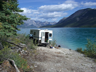
Camping is available in established campgrounds with some facilities, or in a random fashion along existing trails along the lake and North Saskatchewan river.

I prefer the random version as there is more variety available, I don't need any facilities, and it is easier to choose your neighbors!


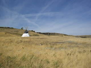
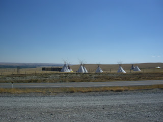
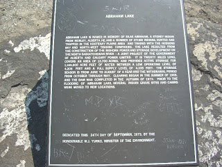
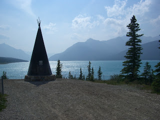
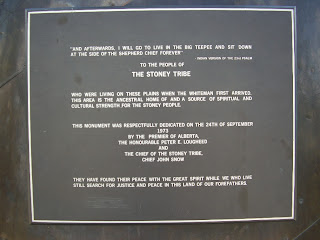
Copper Tipi with plaques.


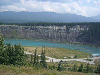
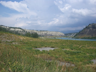
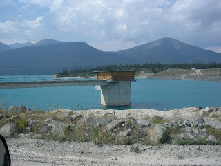
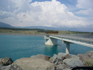
Abraham Lake is a reservoir created in 1972 by the creation of the Bighorn Dam. The east end of the lake around the dam is getting very popular with quads and ATV's, many likely displaced from now closed areas elsewhere. It is a very pretty area, but if you don't like quads, don't camp here!


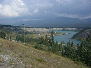
Just below the dam and powerhouse.


Question: Why are there power lines leading to the power plant? (As well as the big lines leading away?) Hmm. Figure that one out!


Myself, I usually prefer areas more to the west down the lake, but toured the area of the dam on a recent visit.