We headed into the city of Whitehorse and went directly to the airport to confirm flight times for my intrepid navigator - who was ending this excursion early to fly back to Toronto for a wedding. With time to spare, we went next door to the Berengia Interpretive Centre in Whitehorse. It features the mammoth, the giant short-faced bear, the steppe bison an the scimitar cat, as well as beavers as large as bears!
 After seeing the navigator off at the airport, I took care of some essentials like fuel ($1.01/l for diesel), propane, a few groceries, and a fine Tim Horton's double-double.
Unfortunately, by this time, it was too late to tour the Klondike (below), another gold rush era sternwheeler on display in downtown Whitehorse.
 So, with only myself and the cat still aboard we headed south and east, then down into British Columbia again, for a quick visit to Atlin - at the end of the road.
 The day was kind of grey and I did not have time to linger longer than to look for a glass repair shop. The road to Atlin is half gravel and half hard surfaced and was half under construction, and a speeding yellow service truck threw two huge rocks at my windsheild, both succeeding in huge craters.
 On the way back, there was a lakeside campspot around Km 54 that looked like a great place to stop for the night.
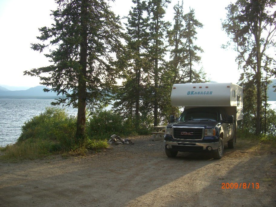 We had the place all to ourselves, ( N 59 54.357 W 133 48.311)
 and the cat (below) had time to get out and check out the local fauna. Being far enough east and south, my Sirius satellite radio had begun to work reliably again.
 On the way back, I watched for more speeding trucks, but the damage had already been done. I covered the divots with duct tape to keep any water out - hoping to get to a glass repair place before the cracks started to spread.
 We came across this quaint little log place that I had driven by on the way south. My curiosity got the best of me. (Click on any photo for larger view)
 The place was clearly abandoned, but had an 'open' sign in the window!
Read the signs below and inside.
 Inside was a range of 'goods' for trade or barter. It was a do it yourself situation.
 In spite of the obvious bargains to be had; and there was even a register to record your transaction, I managed to resist the temptation to swap any goods.
 Because we had come north on the Alaska highway, I decided to return via the Stewart-Cassiar highway, south from Watson Lake. I checked out this map and mileages on the sign along the road.
 Back in the Yukon, I filled the tank at Jake's Corner, and again at the juction of #37 south in case fuel was not plentiful along the way.
Camping opportunites were few and far between at quitting time, but I finally found this lakeside spot at the Sawmil Point Rec Area along Dease Lake. N 58 46.736 W 130 06.200

 I finally managed to consume the last of the Braeburn lodge cinammon bun from 2 days before!
Next: Telegraph Creek


