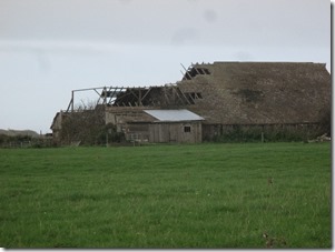
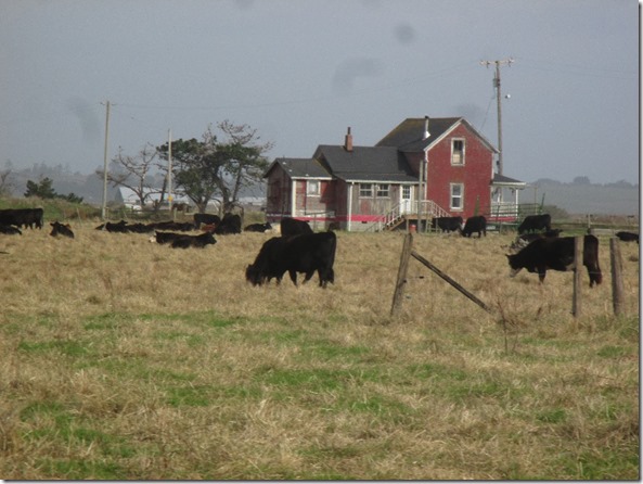
Lots of interesting old barns and buildings in the coastal areas near Eureka.
And garbage some slob decided to leave in the area. How disgusting and juvenile.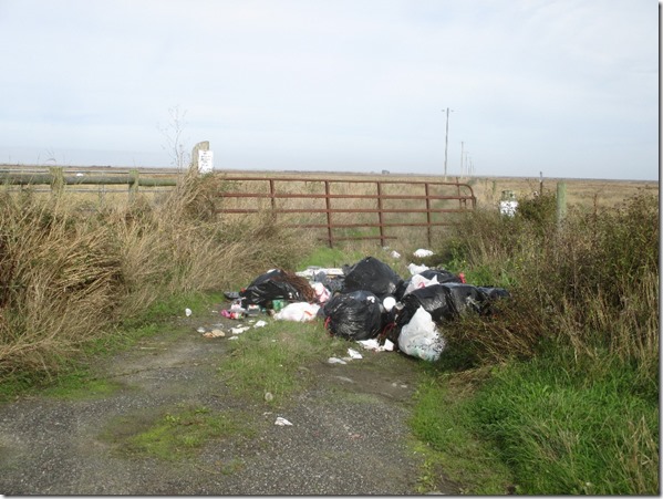

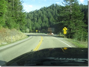
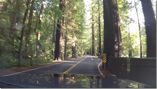
By mid-afternoon we had backed out of several areas along the coast (see previous blog post), and set out for the interior and some high mountain passes on highway #36. The road travels through several really nice stands of old redwoods.
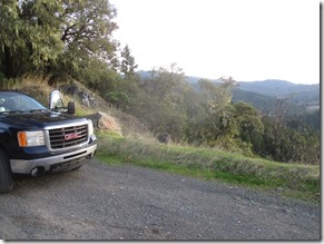
After climbing almost 3000’ feet from sea level, a basic roadside pull-off with a great view was our location of choice for the night. Traffic was light at night, so it was quite restful.
In the morning the road keeps climbing and passing through Dinsmore, Mad River, and Forest Glen. There were lots of national forest roads leading off the main route and it looks like an area that would be fun to camp and explore in the summer time. There was a lot of visible law enforcement presence from multiple agencies over the passes. A short chat with some of them indicated that it is a favoured area for the drug cartels to grow their crops. Unfortunately, the result is a real problem with illegal camps, trash, polluted creeks, dangerous chemicals and desecration of some beautiful federal land. At a roadside pull-off, I found the cover of a popular publication in the area.
Continuing eastward, we hit the I-5 at Red Bluff and noticed something flapping loose at the rear of the rig. It seems like a seal above the slideout had in fact slid out and was trying to make it’s escape. Fortunately, it was not a problem to slide it back into place and later apply the required screws and glue to hold it in place.
East of Red Bluff we encountered a bit of snow on the edges of the road in passes over 6000 feet, but the travel surface was bare. At dusk approaching Susanville, the first National Forest road we came to on the A1 headed north towards Eagle Lake was good enough for a spot to crash for the night. In the morning, the road up towards Eagle Lake looked inviting, but on the far side of the pass there were areas of visible ice on the road, on steep, winding downhill sections. After a few low speed downhill slides, it was an easy decision to abort that route and go back through Susanville.
Wally world in Susanville provided a few necessities, then it was southbound on the 395, into Nevada and through Reno. A detour pushed us off the highway into Carson City – right into a Lowes parking lot, so we made use of their wi-fi to catch up on news, weather, and sports! Back on the 395, it led us back into California, but not before filling the truck and all available fuel cans with cheaper Nevada fuel.
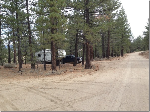
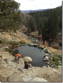
At Bridgeport, I was reminded of some hot springs that I had heard about but not visited in that area. After a quick pull to the side of the road to check online for directions, we found our way up to Buckeye hot springs off the Twin Lakes road. It was a very scenic area with lots of nice camping options under the big Ponderosa pines along Buckeye creek, and a good view back over the valley.
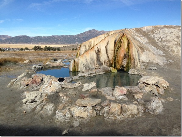
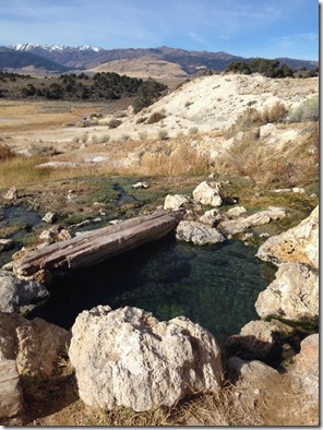
After a night at Buckeye hot springs, we crossed the valley and through went through Bridgeport, and just on the far side of town we then stopped at Travertine hot springs. These springs have created some amazing deposits and rock formations over the centuries. In most cases the water trickles along the very tops of rock ridges it has created over the eons.
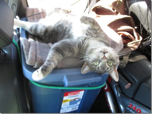
Around that time, there was apparently an election going on. Hailey could hardly bring herself to check out the results.
Even the big GM looked like it had tear stains …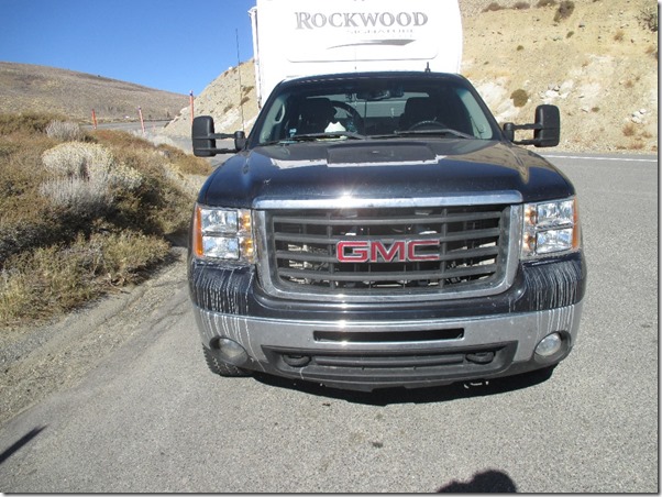
Next – more hot springs!

