Monday, February 26, 2007

Who would have guessed? Visitors to the blog from India Pune, Maharashtra, and two from China, including Beijing!

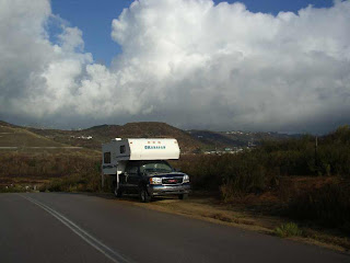
It's been pretty quiet the last few days with not a lot going on. The plan was to head back south and to lower elevations to get away from the less-than-perfect weather. Sedona is a very scenic area, but it was cold and windy, so not very inviting to stick around. We headed south into Cottonwood, bought a new bag of Iams for someone who complains about food shortages!

Camp Verde did not offer up any tempting options for a Friday night, so we headed south on the interstate again till almost dark. A ranch road with a view of the valley provided a spot to enjoy the stars.

Then it was on down through Phoenix, stopping only at a huge sporting goods store for a look around. Evening came on us in the middle of nowhere (what luck), and a dead-end road leading into the desert provided a good spot to pull out the dish and watch the Leafs beat Philly.
The new camper battery is working wonders as I watched TV for over three hours with no power concerns. The little Honda generator is wondering if I have forgotten it behind the seat!

Then it was on southward again into Tucson with a stop at the big


store. We headed out of town towards famous Tombstone, Arizona, but turned off south again and visited Kartchner Caverns State Park.
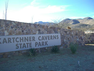
Look at the picture of the sign carefully and you might be able to see the Arizona Puma on the sign!

Amazingly, this incredible cave system was only discovered in 1974 on private land, and was a secret even from the land owners for several years. Then the state purchsed the porperty and now protects it in the state parks system.

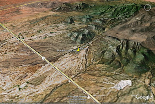
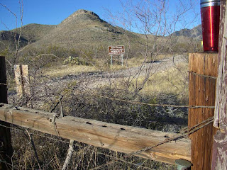
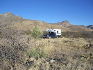
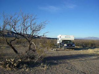
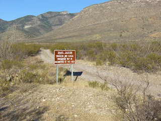
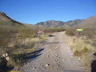
The campground wanted $22.50, so being the cheapskate we went a bit further down the road and found a National Forest Dry Canyon access road leading up into the hills, with only a few distant cattle and possibly some smugglers or illegal aliens for company. Lots of scenery and stars and silence, all at no extra charge.



Don't forget to click on some of the advertisers on this page!


Next on the agenda is Coronado National Memorial, which was established along the Mexican border, "To commemorate permanently the explorations of Francisco Vasquez de Coronado"
Friday, February 23, 2007

Ok then, things have been a bit hectic, or busy, etc!
I have now been on the road for just over two months, and had to set my alarm for the second time. Talk about stress!
After camping out with the desert Bighorns that we did not see, we cruised into Quartzite again. The flea markets are tempting with all kinds of cheap stuff for cheap prices! So I bought a few odds and ends that will never be used, as well as some sunglasses and some tools and handy things to have in a camper. Before we knew it the day was shot and happy hour was upon us, so we only made it a few miles north before pulling off into another free camping area with widely spaced RV's in the desert.

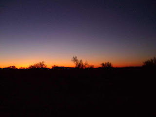
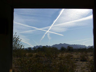
There was a pretty nice sunset, and lots of room to spread out. One unfortunate part about being out in the wilderness in these parts is that even though everything around you is peaceful and quiet, there are always planes and jets overhead that mark up the sky even if you don't hear them. It is definitely a quieter sky in Baja - or at home!


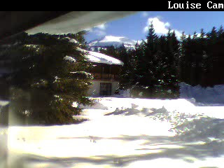
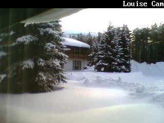
Speaking of home - this is the view out my front window right now on my web cam. Looks like a nice sunny day, high of 0 (32F). But look at the snow drooping off the edge of the roof. In the 'live' view, I can see motion along the left side of the picture - so I can tell that my furnace is running and blowing hot air up along the window on that side.


The next day, the route went north along the Colorado River through Parker, AZ, then through Lake Havasu City where we enjoyed filling up with the cheapest gas so far (?) at $2.09/gallon.
Then up to join the Interstate again at Kingman, AZ and follow a section of the famous Route 66 as well as a part of Highway 93, which starts at Jasper, Alberta and extends all the way down to near Phoenix. The plan (not to be mistaken for random wandering like you might have thought) was to try and meet up with some friends from back at home who were staying for the week in Sedona, AZ, just south of Flagstaff. Ran out of time and light along the interstate, so found a quiet little clearing in the junipers that served as a campspot, and phoned them to arrange a meet.


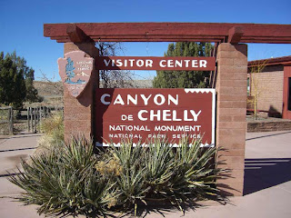
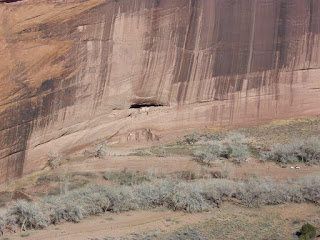
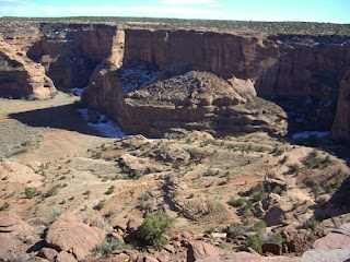
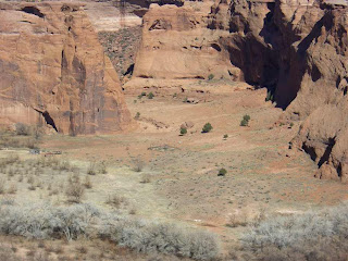
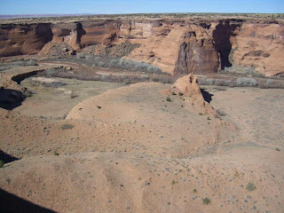
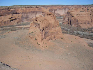
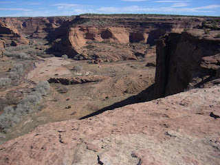
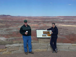
This is getting up into some higher elevations, so the overnight temps actually dipped beow freezing. What are we doing here! Thursday, the alarm went off at 0600 and I met my friends in Flagstaff (also high and cool, but sunny) and we drove out to visit a couple of National Parks to the east including Canyon de Chelly. (Check the link) It was a long day of driving, and we made it back into cold windy, dark Flgstaff, well, after dark, and rescued Harley from a rather cold camper.
Fortunately the drive down to Sedona is at lower elevation so it was not nearly as cold there.
Some Bbq chicken and some cold beverages rounded out the day.

So here we are on Friday morning in cool but very scenic Sedona, formulating a plan and a route that will take us once again into warmer climes. Maybe Phoenix, Tucson, or New Mexico?

Times a wasting, better get a move-on.


Tuesday, February 20, 2007

0


Update, update!
Where were we now? I think we left you just leaving San Diego area, right?

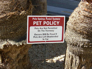
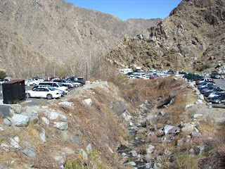
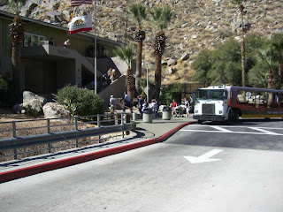
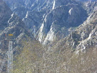
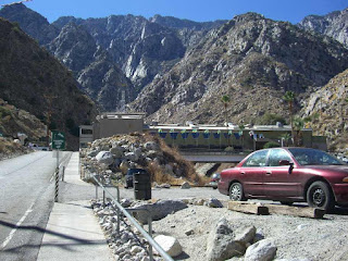
Ok, so we cruised north and west through some slums. We knew they were slums because the signs advertising new homes said "Starting in the 700's". From there we went back into Palm Springs and Desert Hot Springs. I happily returned the spare fuel pump I had taken to Mexico with me, for a full refund, no questions asked! Hooray for Napa Auto Parts! We spent a couple of days in that area - I tried to get in a teeny backroad into Johsua Tree National Parks that I had travelled a few years back, but it must have been washed out as I could not even make it to the boundary, and met no traffic on the route. Spent a day up and around the Palm Springs Aerial Tramway, but it was all Harley's fault that I could not drop the $21.50 to see the top of the mountain (see sign).


Caught some rays in the 80F temps, caught the latest James Bond flick, but the pool and hot tub was out of order at my friends' place, so off we went.


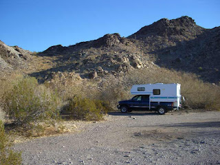
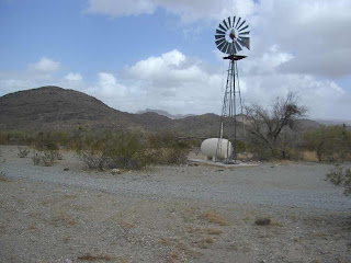
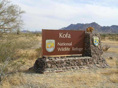
This time a little further north and east again to Quartzite (RV, flea market, minerals, gems, fossils show mecca), then south to camp for a couple days out in the desert of the KOFA National Wildlife Refuge. (Click here for the Google Map of Crystal Hill camp spot) This refuge was set up to protect the desert Bighorn sheep. They installed windmill powered pumps to provide water to the wildlife, and it has been quite successful, tho I failed to see anything larger than a dove.


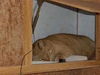
Well, actually I did get some photos of the California cougar, that bears some striking resemblances to the Mexican 'hunting cat' that I had seen south of the border!

Due to popular demand, but failing to find any suitable 'new' signs to pose on, you will forgive me if I post up a photo from last year at the same location?

Friday, February 16, 2007

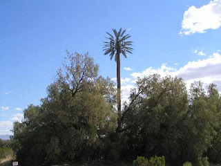
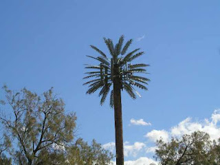
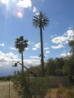
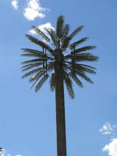
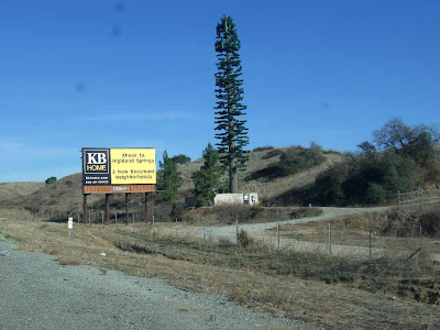
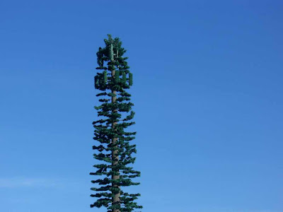
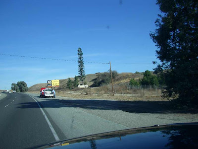
Do you remember these photos I showed you last year of the cleverly disguised palm trees that are actually cell towers?


Well, it seems they come in all types now as a discovered an evergreen grove of deceit!


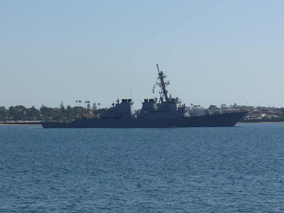
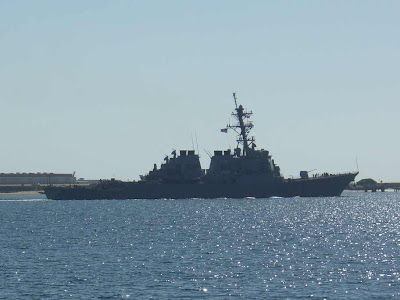
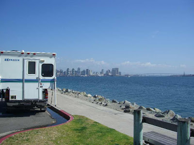
Before departing San Diego we drove down to Harbor Island to look at the sights. Just across the bay appeared to be a US Navy helicopter base or training school as there were numerous 'blackhawk' style helicopters just hovering, landing and taking off, etc.

There was also a military ship just leaving harbour, but I could not figure out what flag it was flying. The best match would be Hawaii, but I was sure it had stars up in the corner - like the US, but far less, and the stripes were similar to the US, but were red, white, and blue?

any ideas?


Harley had fun meeting the dogs and trying to trip the joggers on this ocean front sidewalk.

Wednesday, February 14, 2007

Véale luego Mexico!

Feliz viaje.

hasta luego


Monday we motored northbound on the Mex 1 through San Quintin and Ensenada with only a roadside stop to check the e-mail and blog. Fueled up north of Ensenada on the way to the border crossing at Tecate. Got to the border at 5:15 and made it through, including a secondary inspection by 5:45! Line was about 1/3 of last year I was glad to see. Swapped all the pesos in wallet and pockets for greenbacks, and we were on our way towards San Diego. Hadn't been there for quite a few years, and wanted to check out the big Fry's store and compare it to the one we visited last year in Seattle. Got it into the outskirts of SD (Rancho San Diego, El Cajon) about dark and treated myself to some KFC pollo (er,.. chicken!). Everyone was staring at me 'cause I still had shorts and sandals on. Checked the news/weather/sports, then used Google Earth to find a nice little quiet road nearby to nap for the nite. Turns out it was adjacent to a US Fish & Wildlife service game preserve, so it made for some coyote serenades at night and a nice view in the morning.

Once again, used Google, and G Earth to locate the Fry's store and drove there directly in morning rush traffic with no problems at all. The parking lot may not be as huge as the one in Seattle, but the store was every bit as huge. I saw over 50 checkouts, though there was a huge lineup at the 25 in use. They strategically run the lineup through racks and racks of snacks and goodies to temp you, as well as hiding the exit, so you really have to search for it. My first foray into the store took about 2 hours - till I got hungry and had to leave. Well, I didn't have to because there is a restaurant in the store, but Harley needed a bit of time to check out the mouse situation in the area of the camper. Did some price comparisons at the WalMart next door, had some supper and waded back in for another 3 hour marathon! The store has everything!
Managed to get out the door with a shiny new Sirius satellite radio, and a couple of cables I was looking for.

Probably could have spent the night in their parking lot, but there was a couple of huge rigs in the Walmart next door that seemed to have spent the previous night, so I joined them, and listened to satellite radio. This thing even has a function where it will alert me whenever there is a Leafs game on, give score updates, and supply play-by-play if available.


Looks a bit cool and snowy at home, judging from this pic from my web cam looking out the front window!

Here's where we are -
San Diego map link > http://maps.google.com/maps?q=32.804806,-117.114665&h1=en&t=k

Total days in Mexico - 32
total kms in Mexico -4161

Amazingly, we got two more hits on the log from Beijing, China, and one from La Garenne-Colombes, Ile-de-France!

Bonjour!

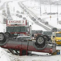
Looks like great driving conditions in Calgary, if this news pic is any indication!

Monday, February 12, 2007


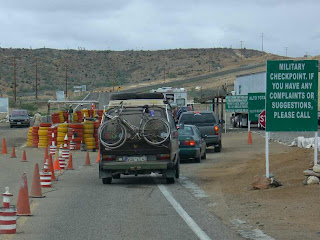
We have been through at least 20 army checkpoints during the last year, and there is a pattern forming. They almost never search anything when you are headed south, but regularly do when you are northbound.
I also noticed that local mexican vehicles seem to get much more thorough inspections than do tourist vehicles (at least for me).
And I mentioned to Harley that they have never once looked in the cab of the truck, only in the camper. He looked at me, rolled over, idly scratched his belly, and closed his eyes.
Wouldn't you know it, the next two checkpoints both looked in the cab as well as in the camper! They don't look very hard, mind you, but at least they looked.


The morning started off pretty cloudy and relatively cool, so it was a good time to make a mile. Went in to Guererro Negro to check the mail and weather, then fueled up to make it across the 'gas gap' in mid Baja.
G.N. is on the border between Mexican states Baja California Sur and Baja California Norte, or BCN and BCS.
The first section of road north is very narrow and fairly rough, but luckily it is fairly straight. There are some cool lava flow formations, and an area of huge, round boulders.
Then the highway climbs, winding over a mountain range with some great views before decending back down towards the coast. I checked out a couple of potential camp spots, but none met all my criteria.
So we made it throught the 'gas gap' and into El Rosario where we filled up again. The road from there joins the Pacific coast again for a while.

We were tooling along enjoying the early sunset when a policia car came flying over the hill towards us with all it's lights on and indicated for us to stop! Hmm! How could they have known? What was the problem now?

But it as all cool, and I don't think Harley even disturbed his afternoon nap to see what was going on. The officer asked if I spoke English, then asked if I had seen any sign of a vehicle accident?

I assured him that I had seen nothing today, and off he went in search of the phantom wreck. Kind of reminds me of work at home ...

Had an alternative camp spot entered into my gps and Google Earth in this area, so decided to check it out. Turns out that it is way nicer than the one
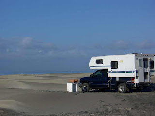
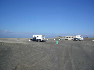
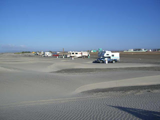
I have stayed at twice before. The access road is shorter and better, it is right on the beach, is half the price (It was marked $8., but he only charged me $5 (unless that US $10 he gave me in change was 'funny'?), has water, hot showers, and a dump station. It looks very well maintained, the managers are very friendly and speak english, and there are some other big rigs parked here.
Unfortunately, the ones with satellite internet did not send it my way!

El Pabellon Campground map >
http://maps.google.com/maps?q=30.369590,-115.862616&h1=en&t=k

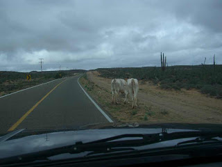
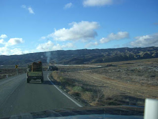
One photo shows a cow in the back of the mini-pickup on the road in front of me. when I passed, I could see that her calf and a spare tire were also in the back.


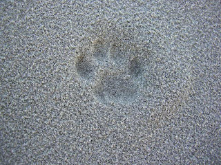
Another pic shows the track of the highly elusive Mexican hunting cat who was prowling around the camper last nite.


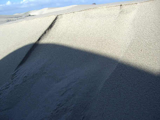
And finally, to stay in practice, I found a class 2 avalanche close to camp. I will recommend that they 'close the backcountry'!