Wednesday, March 28, 2012

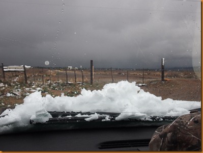
Snow and Company–Here and gone.

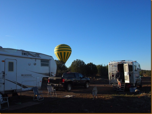
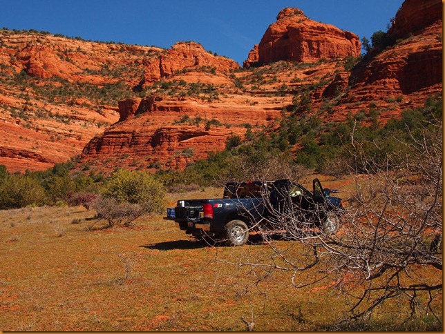
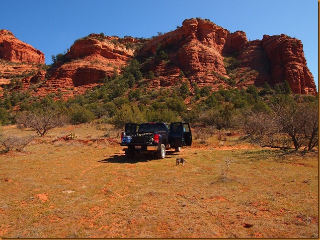
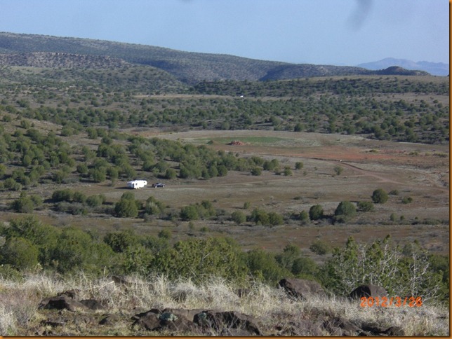
I’d just settled into my latest camp – which just happened to be both a model aircraft flying field and a hot air balloon landing zone, when the weather forecast was for ‘snow’ (!) and rain. One of the pilots advised me that the forest access road turns to impassable muck if it rains a lot, and that the road may be closed as well.  CIMG7651
I was well stocked with all the necessities and would not really have minded being marooned, but I was expecting some company from the north country and did not want to risk missing them if I was stuck.  So, we reluctantly packed up and spent a couple days as ‘transients’ around paved areas in Cottonwood.  It was miserable and cold, but at least it did not last long.

P3192276IMG_0895

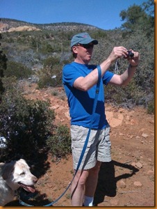
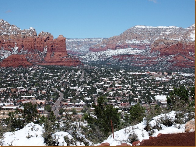
Anders, Dianne and dog Timber from the frozen north seemed to have brought this weather with them, which was poor timing on their part.  We quickly warmed up the hiking boots, but the first days hiking was done in the snow.

Sedona in snow from the airport viewpoint.P3202278
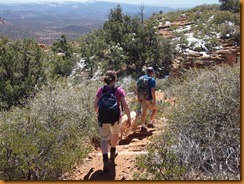
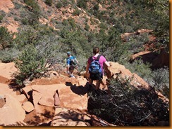
The weather rapidly returned to normal and we spent a lot of time exploring some of the numerous hiking trails in the area.

P3212285P3212288

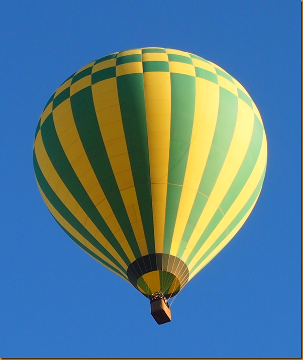
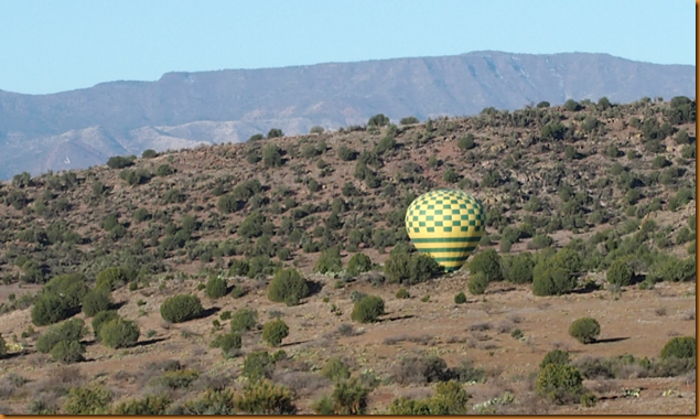
Morning routine at this camp includes watching the balloons come over just at sunrise, then land just over the hill.

image

P3232307CIMG7659P3262359P3252357

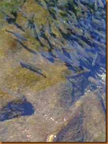
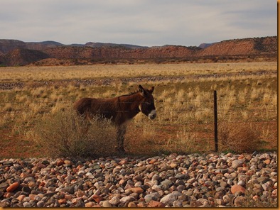
A few side trips in the area included a visit to Tuzigoot NM where I saw a few donkeys or burros, and a stop at the Page Springs Fish Hatchery,

 IMG_0900P3242323

where they have a lot of fish of various ages that eventually will be stocked all over the state.

IMG_0896IMG_0897

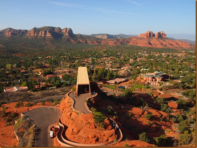
The sky cam has been busy as well, with a top down view of the Chapel of the Holy Cross; click the link for the ‘usual’ views.

P3282395P3282393

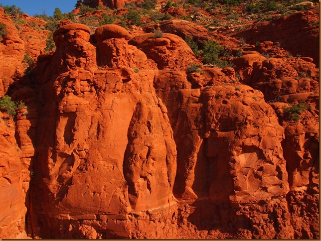
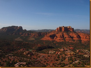
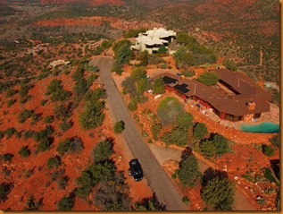
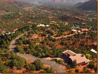
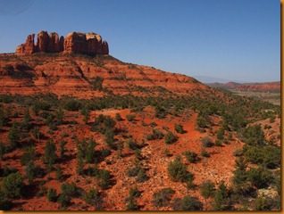
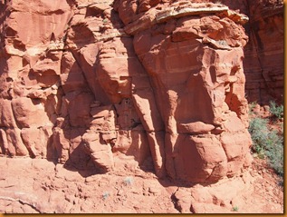
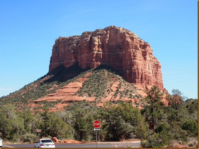
Some other views of Cathedral rock, and some of the real estate around Oak Creek, just outside of Sedona.

P3282403P3282407P3282410P3282426P3282434P3282443

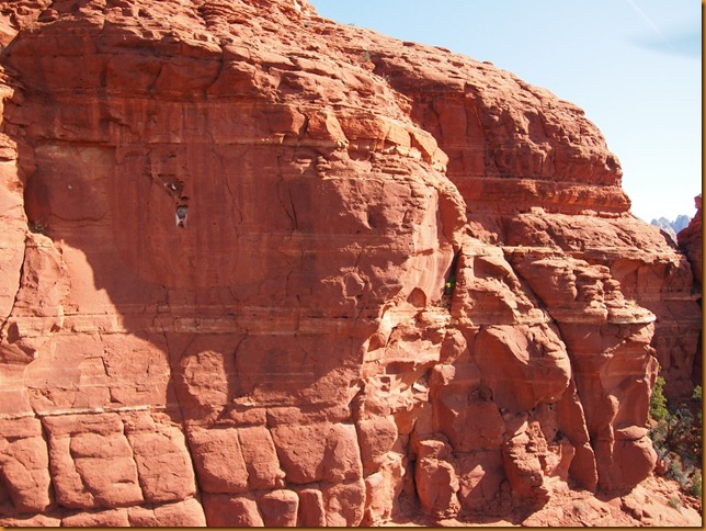
There were a few ravens nesting on the cliffs above Sedona, so we went up for a closer look.

P3272370P3272379P3272372

Since the calendar is trying to tell us that it has been two weeks in this area, I think it is time to hook up and head for somewhere else.  Come on along!
Monday, March 19, 2012

Sedona–Oak Creek

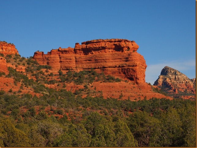
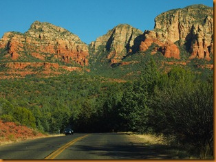
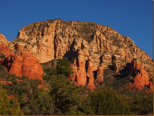
Not too much you can say about the Sedona area.

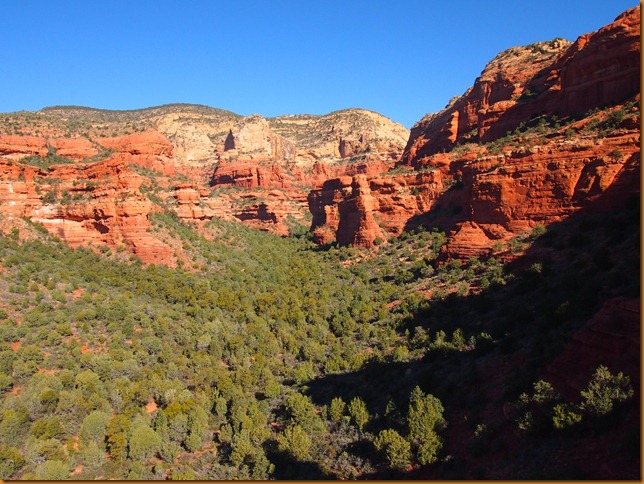
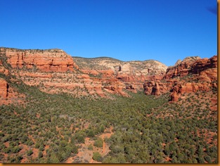
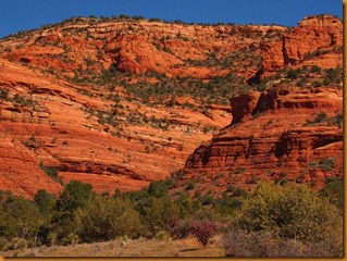
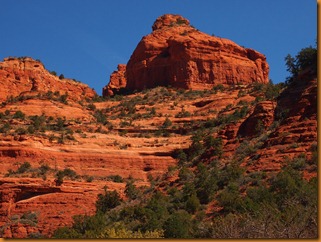
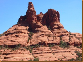
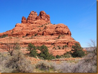
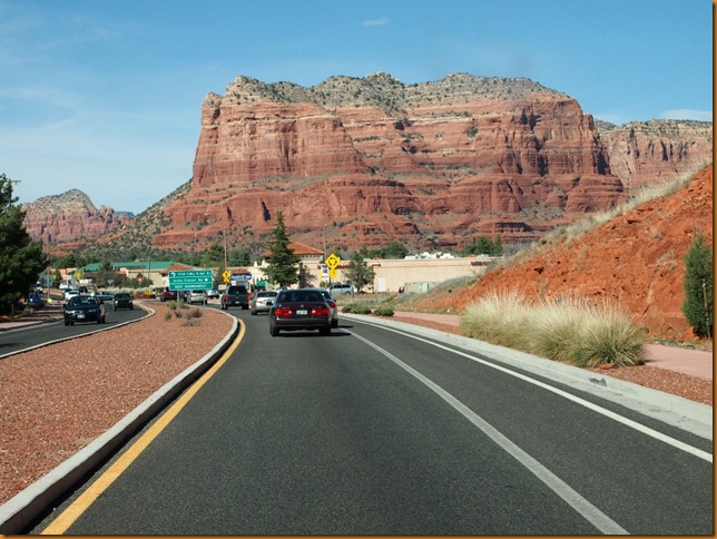
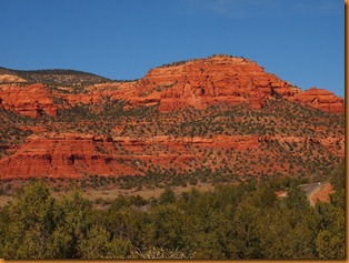
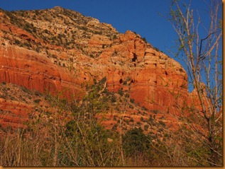
Just make sure you have lots of room for photos on your media, batteries for the above, and – try to keep your eyes on the road when driving.  Super scenery in all directions.

P3162209P3162226P3162237

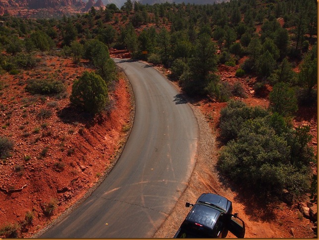
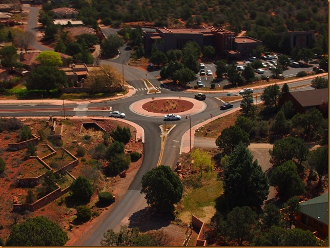
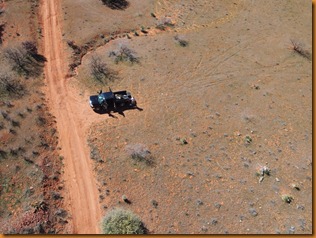
Had the heli out for some photos …

P3162234P3162241P3162238P3162240P3162245P3162248P3162249P3162251P3162253P3162256P3142117P3142119P3142134P3142137P3142142P3142141

Now, just waiting for the snow to melt and the temps to get warm again after a huge winter storm hit most of the southwest.

Sunday, March 18, 2012

Cottonwood–Jerome

Once again the fuel consumption was minimized on the long downgrade from the junction above Strawberry, Az down into Camp Verde.  Even the brakes did not feel left out in a few places.  We skirted across the I-17 nonstop and looked for a camping area near Cottonwood.  For once, my free-camping directory was not out of date and the BLM land off Thousand Trails road even had a good scattering of RV’s!  But, on closer inspection, there was not much space between rigs or available room for any privacy, and there were generators running even at mid-day.  There was a great 360 degree view, and good access to the highway, but I hoped to find better up nearer to Sedona.image  I turned off on Dry Creek Rd in Sedona and headed out to Boynton, where I hoped to find somewhere nice.  Instead, all the spots were well signed with the familiar no camping signs.  One sign they could have used was one to inform you that the road I was on ends in a private resort with security guard and NO place to turn around!  Eventually utilized my sliding hitch to enable a reversal of direction, but only by going on through the gate first.  Finally I found a spacious trailhead parking area where I could leave the rig while doing a more extensive reccon.  After a while I settled on a very quiet spot a bit south of Sedona on a dead-end forestry type road.  Lots of peace and quiet here – and no generators.  I also discovered that it was a landing zone for some of the local balloon companies, and the Central Az Modelers, a R/C aircraft field!  Nearby, I saw only my second roadrunner of the entire winter, and managed to get a distant shot of it!

P3152145

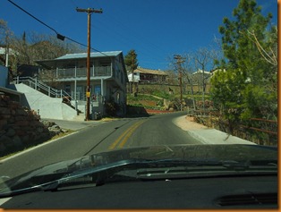
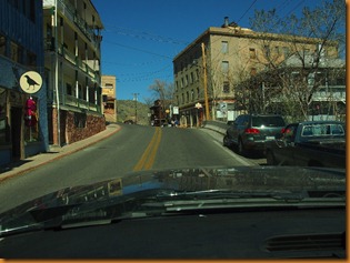
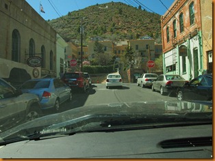
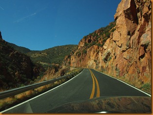
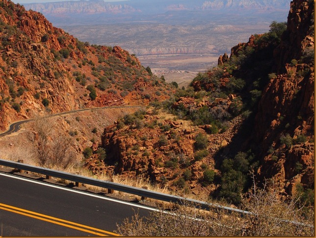
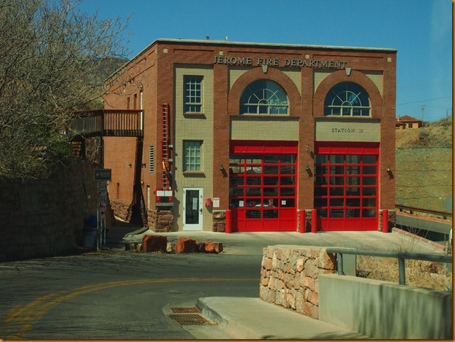
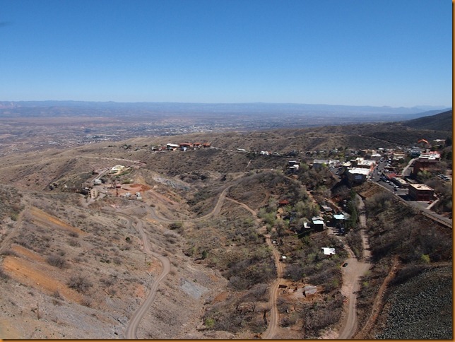
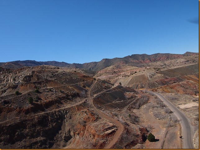
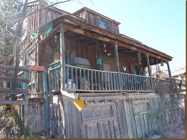
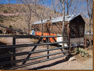
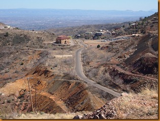
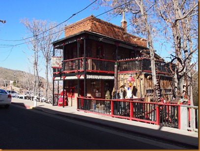
Upon checking the map, I realized that I had never been to Jerome, and had heard a lot about it, so that was the plan.  It is just a short run up the road from Cottonwood, but a world away.  Flat ground is at a premium, and all roads are narrow and steep.  It clearly originated as a mining town before the turn of the century, and maintains the frontier character.  I drove on past the town as well, and that road snakes its way higher up into the mountains with numerous switchbacks.  Trucks over 40’ are banned, but I did see a couple of brave RV’s giving it a go.P3152164 P3152147P3152149P3152150P3152154P3152162P3152167

It’s hard to get a good perspective of the town when you are in the middle of it, so I enlisted the helicopter to give me a bird’s eye view, before the winds picked up too much.P3152173P3152174P3152177P3152178P3152179P3152180P3152182P3152185P3152184P3152186P3152190

Next: On to Sedona …