Thursday, February 28, 2008

Well, I feel really bad for you all tonight. I'm sitting in the camper watching the CBC news special called "What a winter". It tells that much of Canada is having a much colder winter with more snow than usual. Just like the 'old days', they say.
I'll have you know that I had to get out of my chair on the beach to set up the satellite dish to check up on you all back there.
The tide was coming in, threatening to get my sandals wet anyway. But here I sit, in shorts, sandals, and T-shirt; sailboats anchored just off shore;
an outboard motor heads off into the dark; and the high tide creeps within about 6 feet of the camper.
TV showed the storms in NB, Toronto, and the closed schools in Yellowknife because day time high temperatures were not reaching -50.
Don't you just hate it when your bare feet track all that sand into the camper?
But I'll have you know I am roughing it. I cannot find any internet access within 100m of my camp - I might have to walk down the beach to check the e-mail. Also, I keep forgetting that the little restaurant/bar at this beach is closed on Wednesdays!

This camp area at Santispac beach charges 70 pesos (about $6) a nite, there are no sites; you just pick your ideal spot on the beach based on your own criteria, be that sand,views, breeze, neighbours, or lack of dogs for Harley to chase. If you decide you don't like that pot, you can move at any time.
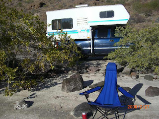
My spot included some bushes on the shore for a bit of privacy. And cover for Harley's 'prey'!
As usual, the visitors here are mostly from BC, but there are far less than I am accustomed to seeing here.
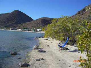
The semi-permanent places have all been removed, thanks to a Mexican government decree to return the beach to public use, and I must say the place looks a lot better.

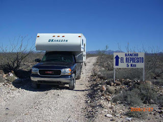
Yesterday, we camped just of the highway on a little road into a ranch.One farm truck came by in the morning with a tank of water - for some cattle presumably? Otherwise, it was total peace, quiet, and 360 degree views.
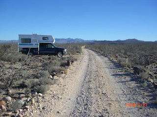
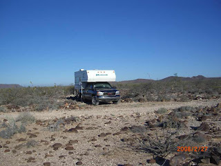
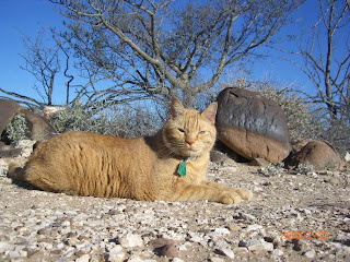
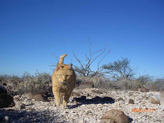
Harley was out and on the prowl in the morning.
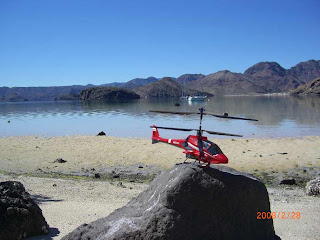
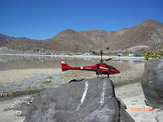
This morning was calm on the beach after a deluxe sunrise shining on the hills back of the bay, so it was an ideal time to do a little helicopter flying.
Tuesday, February 26, 2008

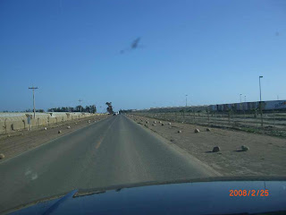
Hmm, I wonder which lanes they don't want you to drive in? (Click on the photo for a larger view)


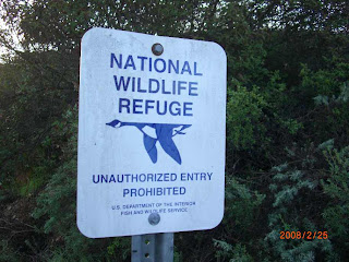
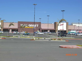
It was likely a good decision to move out of central San Diego before packing it in for the night. In spite of the signs warning against overnight parking in the Walmart parking lot, the security guard went out of his way to assure me that it would be fine to spend the night there if I wished. But worried that morning rush hour might complicate things, I opted to move to the outskirts
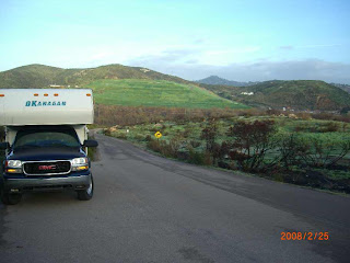
where I had spent a night last spring, in a National Wildlife Refuge area.

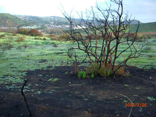
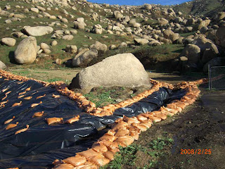
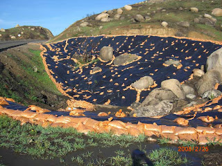
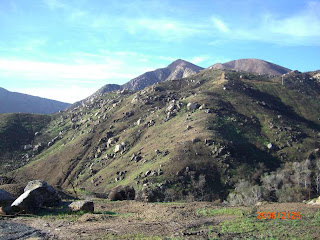
Since I was there 11 months ago, the entire area has been burned over, but it is greening up nicely. It was burned over most of the way from San Diego to the Tecate border crossing , and there had been massive efforts to try and reduce and control the resulting erosion.

Made it to the Mexico border crossing at about 0830 and there was zero lineup.
I finally found the missing tourist card that I never did find during last year's trip, but I guess it was no longer good?
But it was unlike last year when I had to drive all around Ensenada trying to find a bank to pay for the tourist card, or two years ago in San Felipe where I spent a weekend waiting around for the immigration office to open, but finally gave up!
In this case, the bank (which was open!) was right across the road from the immigration office, which was right at the border crossing. It was almost too easy!
Then, one block away, I found another bank with an ATM, so I could load up with fresh Pesos.
Then it was out onto the open road of Mex 3 highway. Soon we were behind a very slow moving heavy truck, heading up a long grade in the rolling green hills. I was starting to wonder if this would impact my schedule, when the familiar left signal came on - indicating that it was now clear to pass.
I must say that it is nice to get back to highway speeds and distances being posted in kilometers.

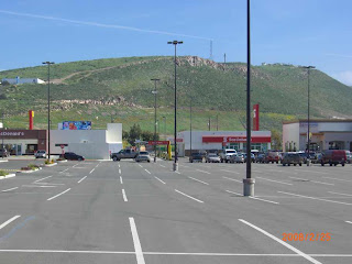
Made it through Ensenada without problems, thanks to Google Earth, and past experience. Took a few photos at the big mall.Even a ScotiaBank!
at the southern edge of the city. Watched a large, loaded container ship attempting to get into the terminal. It was listing and fighting the waves, but appeared to finally give up it's attempt. The harbour entrance is very narrow and exposed.

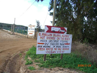
Located the El Pabellon campground, just a few kilometres south of San Quintin, Mexico. The posted price was $10, but the friendly
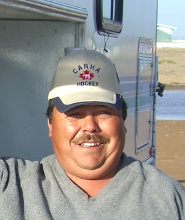
manager escorted me in to the best site (it was empty at the time), and charged me $5. Then he spotted the ball cap I had in my truck. It was a Canadian Recreational Hockey hat that had been left there since I got it at hockey in Banff in January.
He wanted to know how much I would sell it for - as he wanted a Canadian hat. I decided that $5. was a good price - so my camping was then free! It was nice to be back on the coast, listening to the sound of the surf again.

The one-legged sea gull.

Sunday, February 24, 2008

For the first time in about 3 weeks I saw another Alberta licence plate in Barstow California. That is not that surprising, though as this is getting to be 'snowbird' country, and soon there will be lots of plates from AB, BC, SK and a few from MB.

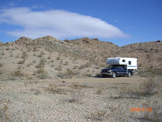
Out on these highways, there are a lot more RV's traveling as well. On the road just a few miles south of Barstow, there was some inviting BLM lands, so we set up our first camp with a real authentic desert feel to it. There was nothing but space and privacy, so the Honda generator was called into service to make sure all the batteries were at full capacity, and the sat dish was set up to watch a bit of TV.

Camp location: N34 46.295 W117 01.596

In the morning, it was southbound again into Lucerne Valley, then to Yucca Valley in the Joshua Tree area. We stopped in Yucca to have a bite and throw a load of laundry in the washers. There was quite the little 'gully washer' of shower in the afternoon and some gusty, high winds.

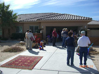
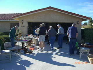
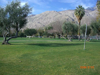
We carried on down the road and ended up in Desert Hot Springs, where I pulled the camper into it's 'usual' spot under the car port of a buddies place there. He was not home at the time, so it was off to the pool and hot tub to chat with some of the folks I had met there from the past. The wind was really extreme, but all those palm trees showed their resilience by not breaking. It had calmed down by morning and it was a great day. I got involved in some 'professional' garage sale aficionados the next day. We met early, formed up into three vans and then raced around all over the area; Mission Hills, Palm Springs, Rancho Mirage, Palm Desert, jumping out at each location looking for bargains and deals.


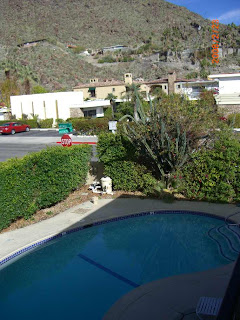
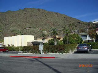
It was a good tour of a lot of the houses, as well. In many of the places, the whole house was open. Many of them had pools in a lot of the areas. I noticed countless little trucks in these neighborhoods with rolls of hoses and vacuum cleaner-type devices. These were the pool cleaning guys going from pool to pool.
The only other vehicles equal in number were the landscaping contractors with mowers, leaf blowers and roto tillers on their trucks and trailers.
With help from the 'pros', I got some good deals, like a book that retailed for $44. that I got for 25 cents!
Went to a big lasagna feed at the park that night.
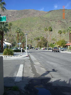
Today it was time to leave again and it was south out of Palm Springs again on a road that climbs high into the hills.
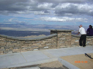
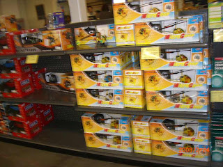
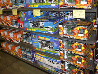
I was surprised to note that the viewpoint I had visited last year had been completely re-designed with lots of new rock work and all new pavement and curbs.Up top it was practically hurricane force winds, then the mist was so thick you needed the wipers on. But down the far side into Temecula, it was nice again, fairly calm and sunny. I was hoping to find a rest area or somewhere to pull off before getting into San Diego, but that didn't happen, so I had to fire up the laptop, gps, hook them together, load google Earth to see where we were going. Just in time, as it led us directly to a Fry's Electronics store that we visited last year. I managed to escape from the place and not buy a thing. It was tough, though, because there were Terabyte disk drives, lots and lots of r/c helicopters, and tons of other stuff that can be hard to find.
We'll likely be staying in the area tonight, and headed for Tecate, Mexico manana.

Thursday, February 21, 2008

NOW UPDATED WITH PHOTOS (Feb 24)


After we packed up in the morning, we continued on route 166 through agricultural areas where the tractors were out working the land.
As we dropped out of the high country around Cayama, down toward Maricopa we entered 'oil' country where in some areas there were small working wells only 100 yards apart in some areas. Then it changed to orange groves, and grapes. The road led east and we crossed I-5 for the first time since we left it on Feb 2nd at Chehalis, Wa.
East of I-5 there were huge dairy operations.
While gassing up and hanging out in Arvin (just south west of Bakersfield), it started to pour rain.
There are no storm drains there, so all the water accumulates on the road and runs down the street. In just a few minutes there were a number of small floods starting and several homeowners were outside keeping an eye on it.
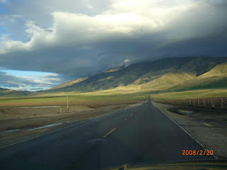
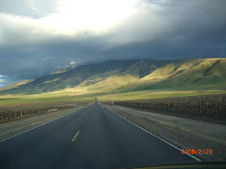
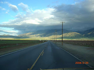
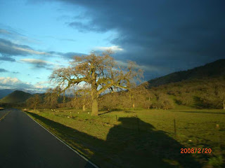
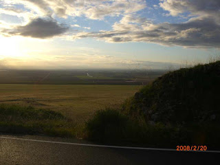
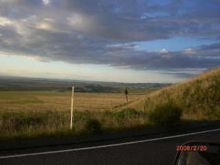
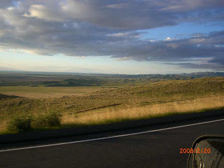
As we headed up into the hills outside Arvin, the sun was shining on the green rolling hills, which resulted in a few photos!

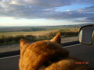
Even Harley seemed impressed by the scenery.
I stopped on the highway to take this one, then I noticed the hawk sitting on the post watching me!

Decided to spend the night in a high country town of Tehachapi (took me half the day to figure out how to spell that) and it didn't hurt that I found some really fast wi-fi to catch up on the e-mail and news from home.
Unfortunately, it has an elevation of 3-4000', so it was pretty dang cool, and we may have experienced frost!
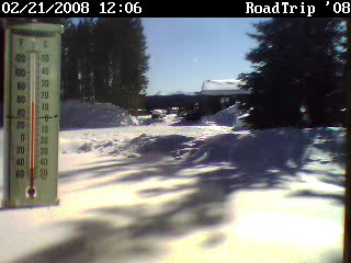
But I checked the web cam out my front window at home. Although the thermometer shows that it is certainly warm in the sun, the huge piles of snow make me glad to worry more about grass stains than frostbite!

Just down the road is the small town of Mojave, California.
35.0646°-118.157°
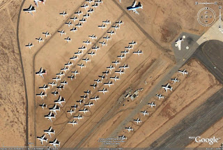
Some of it's claims to fame is that it is home to Air and Spaceport USA, where the only privately funded space flights originated. It is also home to the civilian Test Pilot school, and it may have as many old aircraft as people? It is one of the homes of out-of-service airliners, and others that have been decommissioned.
There are rows and rows of 747's, Airbuses, helicopters, old military jets all over the airport and runway areas.
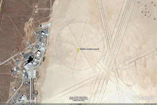
Unfortunately, I could not find any type of information centre to get more details. The planes are plainly (pardon the pun) visible on Google Earth, which is why I wanted to have a look at this place to start with. It is also just down the road from Edwards Air Force Base. I spotted that on GE as well, spotting a runway that was 5 miles long that I believe is the back-up Space Shuttle landing area. Curiously, there is a huge compass marked out on the ground that is a kilometer in diameter!
Check it out in Google Earth!