Sunday, October 27, 2013

Nevada Hiking

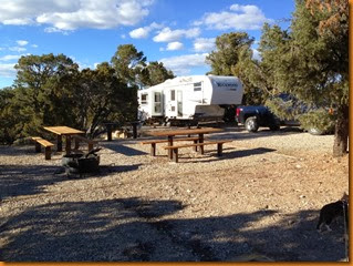
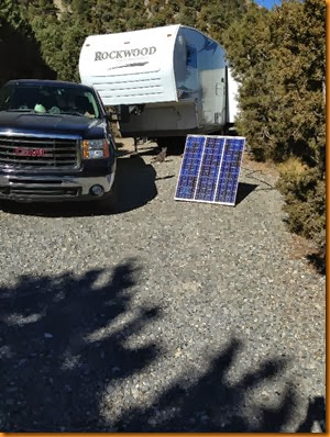
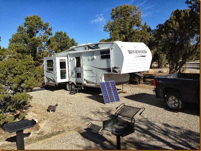
Ward Mtn FS campground, on Highway 6 at Murry Pass has been our base of operations for the last few days.  It’s a beautiful, well built, modern spacious campground – and free at this time of year.  And virtually empty as a bonus!IMG_2072IMG_2114

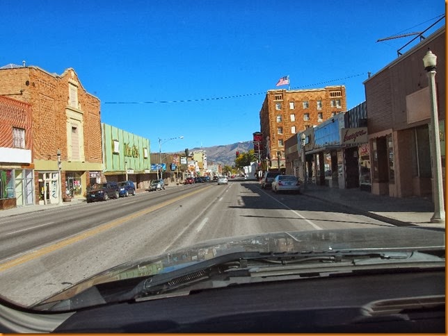
It’s only 8km (5 miles) out of Ely, Nevada so we checked out the town a few times.  A few area forest service roads also provided some room for wheeled exploration.

PA249157PA249159

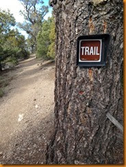
But we also got out on some trails.  Many of them appear to have been marked and designed for cross country skiing, so they did not go to the ridge tops where I wanted to go.

  IMG_2113


IMG_2078IMG_2079

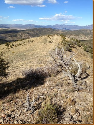
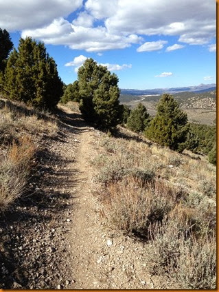
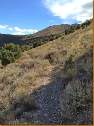
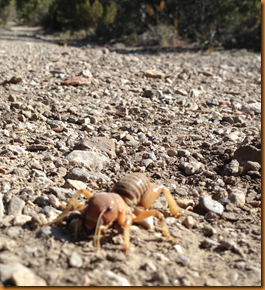
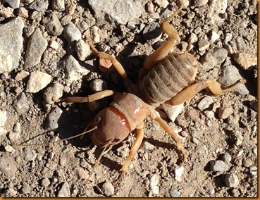
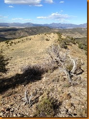
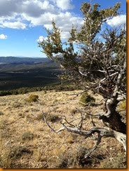
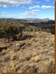
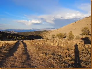
So there was a bit of bushwacking, but most was above treeline, and the views were worth it.  But there was also some hazards on the trail in the form of the local wildlife.  This fellow emerged from his lair in the middle of the trail and challenged me.


imageimage

I escaped with my life, but I have no idea what he is.  Perhaps an alien (where is Area 51 anyway?), or an early halloween prankster.IMG_2088IMG_2092IMG_2094IMG_2096
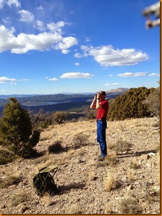
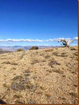
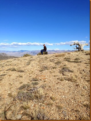
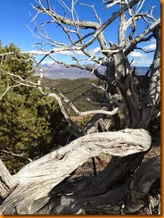
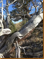
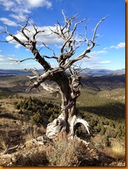
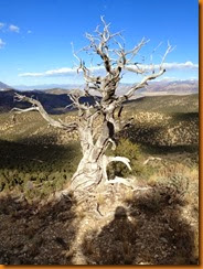
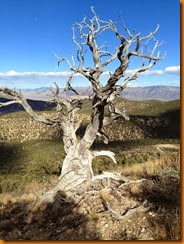
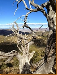
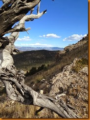
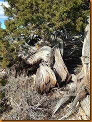
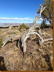
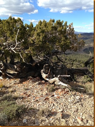
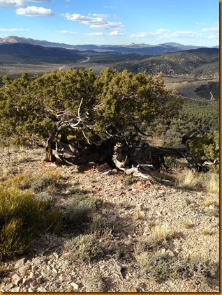
Following the ridge line back down, there were amazing tree skeletons that had fought to live in this hostile environment for possibly hundreds of years.

IMG_2090IMG_2091IMG_2092IMG_2102IMG_2103IMG_2104IMG_2105IMG_2106IMG_2107IMG_2108IMG_2109IMG_2110

I’m not sure if these are the long-lived bristlecone pines, or others like the pinyon pine, but they are certainly amazing specimens.

IMG_2111IMG_2112

We might have departed yesterday, but the weather has been so idyllic, sunny, warm and calm, that it has been just too easy to stay, relax and enjoy the scenery.  Besides, there was hockey and football games that I did not want to miss if I was on the road somewhere.
IMG_2115

But the forecast is for cooler and damper weather in the next few days, so our camp at around 7400 feet may not be the best place to be.  But anything is better than the forecast from back at home where it has started to snow and the high temperature for the day is the freezing (melting?) point Winking smile.  So – we’ll be on the move for somewhere.  The decision will have to be made at the intersection in town …

PS:

I almost forgot to mention – I received e-mail notification of a comment on my last blog from Barrie, who had a question about Hailey running loose, etc.  For some reason, the post never made it to the blog, and no, it was not sent to spam, nor awaiting moderation.  It just never showed up online.

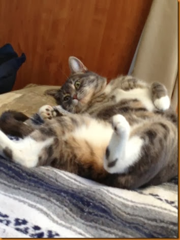
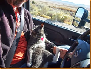
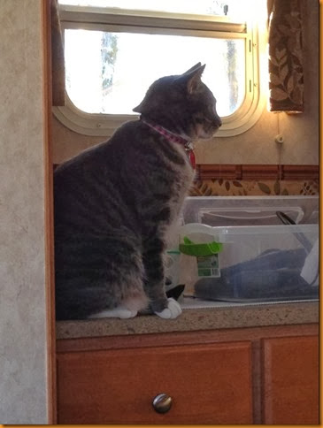
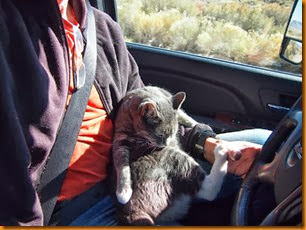
  But in answer to his question; Hailey is usually in her harness and on a leash when outside the camper or the truck, and under very close supervision.  She always knows the camper is ‘home’ and a safe place, but her curiosity could lead her into all kinds of hazards such as traffic, and coyotes, etc.  But in areas of unlimited visibility such as open desert, I will let her loose without harness, with a bell, always keeping a close eye on her.

Another thing I keep forgetting to mention is the fact that so far on this trip, I have always been able to pay for fuel at the pump without ever having to jump through the zip code hoops (Canadians will know what I am talking about).  Now I’ve likely gone and jinxed myself!  Worst ever was the Safeway station in Flagstaff – I had offered to leave both my credit card and my safeway rewards card with the clerk while I filled up, but he wanted my driver’s licence as well!  Like I was going to gas n dash pulling a fifth wheel trailer! Needless to say, I took my business down the street.
Thursday, October 24, 2013

Ruby Lake NWR

IMG_2064IMG_2069

A couple nights were spent near the National Wildlife Refuge, debating where to go next.  As it happened, I was across the valley looking around when a couple of Nevada Fish & Game guys showed up while on an antelope survey.  We got to talking, and I was surprised to hear that they had just recently released some Canadian Bighorn sheep in the area.  The sheep had been captured in the Cadomin, Alberta area on the boundary of Jasper National park, where I used to patrol.  In fact, I had been involved in a previous sheep trapping event there years ago, though I cannot recall where the sheep were headed that time.IMG_2071

We also started to look at maps and a discussion of roads in the area.  Their opinion of the road to the south was not as bad as I had previously heard, so I started to reconsider my options yet again.

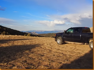
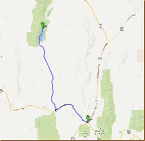
  To make a long story (!), the next morning extra care was made to insure everything was tied down solidly, the route was downloaded in Google Earth and Maps on my tablet, cat food supply adequate, and we were off at the crack of dawn.  It must have been dawn somewhere – at 11AM.  It could have been 10 depending on which time zone we were aligned with at the time.

Expecting a rough road with potholes, washboard, sharp rocks, we wondered it roadside assistance could find us, if we had a flat – like the Bayfield Bunch.  Of course, my gps insisted we were lost for the first half of the trip – ‘turn around NOW’.

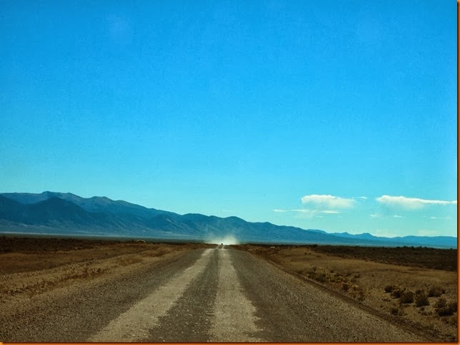
Well, we took our time, just puttering along.  Traffic was heavy – saw 2 vehicles in the first couple hours.

PA239139

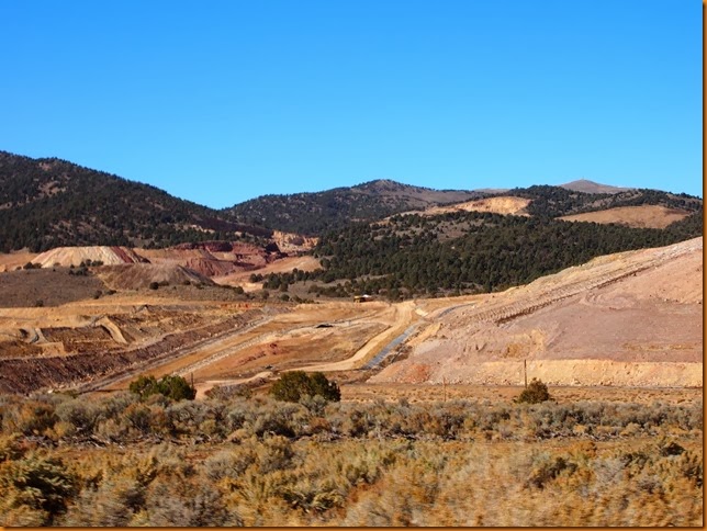
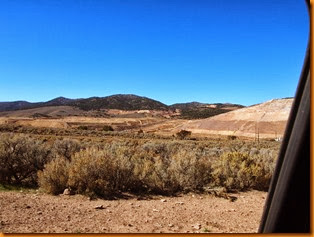
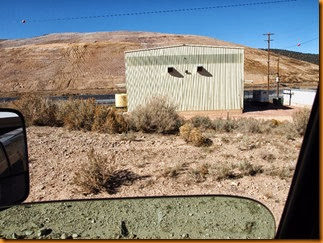
There was an abandoned mine site, and an active Barrick gold (copper?) mine along the way, but the traffic stayed about the same.

PA239144PA239142PA239140

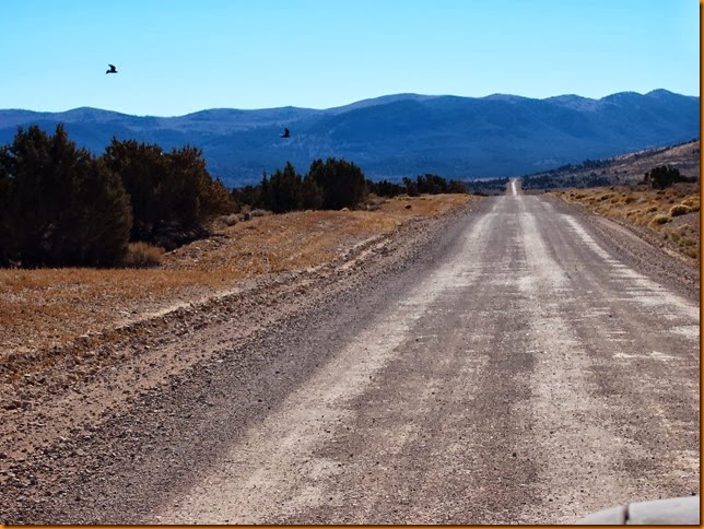
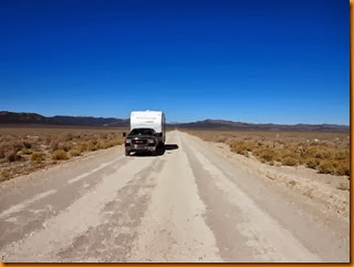
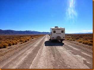
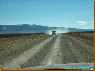
You could see vehicles approaching from about 20 miles away on the straight parts, so you could park in the middle of the road and walk around a bit without worrying.

PA239152PA239153

OMG, here comes one now!

PA239148PA239149PA239150PA239151PA239146

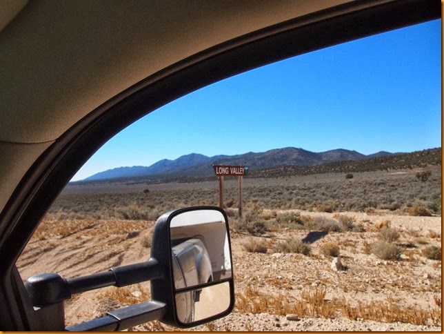
It was aptly named, ‘Long Valley’.PA239147

Overall, the road was not nearly as bad as I had expected, and much to my surprise, there was a couple of paved sections in the middle of nowhere.

image

Eventually, we emerged on Nv highway 50 (Lincoln Hwy), and after another mountain pass or two, we rolled on down into Ely, Nevada.

PA239156

We ate, fueled up (Diesel @$3.99), groceried up, propaned up, visited a bank machine, and then had to decide which direction to head.

East would take us over to I-15 in Utah, and all that southern Utah has to offer.  West would bring Reno, Carson City and eastern California into view, while south would take us towards Vegas, Death Valley, and all points south.

PA239138PA239137

The closest exit was to the SW, which Google Earth had hinted might hold some boondocking potential, so off we went, squinting into the sunset. Just over the pass we found Ward Mountain FS campground, which was open, but apparently not charging fees!  It is in a beautiful open pine forest, about 7400’, with views of Ward Mountain and valleys to the south and west.  The campground is very new looking, and extremely clean, and we managed to find a spot as there was only one other rig present.
IMG_2058IMG_2059

The only downside, is that it is not that far off the highway leading down from the pass, so the sound of jake brakes kind of blends in with the chirping birdlife.IMG_2072

Where we are next is anyone’s guess …