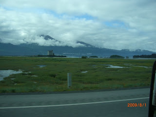
 The weather was clearing a bit as we went over the pass. Because we had driven the road earlier in the day ...
 Not everyone was paying attention, especially the navigator!
 We stopped by Copper Center, just south of Glenallen and checked out the another of the historic Alaskan roadhouses. This one is still in operation as the Copper Center Lodge and there is a small museum next door.
 In the same area, we checked out a very historic log church,
 which still hosts occasional services, I believe.
 Then from Glenallen, we headed for the coast at Anchorage again, via Palmer, Alaska.
 Along the way was the very impressive Matanuska glacier.
 Wikipedia says,
"Matanuska Glacier is a valley glacier in the U.S. state of Alaska. At 27 miles (39 km) long by four miles (6.4 km) wide, it is the largest glacier accessible by car in the United States. Its terminus is the source of the Matanuska River. It lies near the Glenn Highway about 100 miles (160 km) northeast of Anchorage. Matanuska Glacier is "active" and expands around one foot (30 cm) per day."
 I found it quite amazing that even though the glacier is miles and miles long, parts of the surface appear very bright and clean; not dirty like many much shorter glaciers!
 But conversely, parts of it are covered by massive debris fields so thick that even trees have grown on top of portions of it!
Click on the image below for an explanation of the phenomenon.
 We wanted to camp somewhere prior to reaching Palmer, where we would visit a Muskox and a Reindeer farm the next day.
 This spot was right between the highway and the raging Matanuska river - just below the glacier, but if filled the bill for the night.
 And a quick video of the river, taken from the camp spot.


