Monday, September 11, 2006


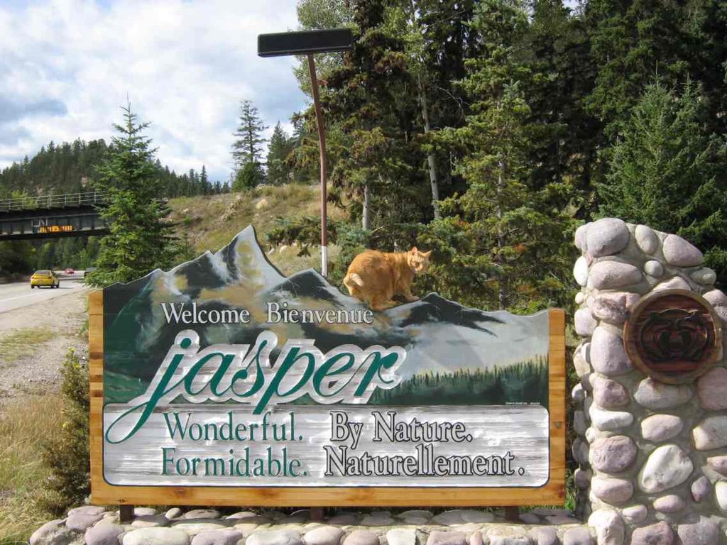
Here we are again, a few days later, handicapped by a partial computer crash, but really enjoying the awesome weather! Booked off a short weekend this time and went up to my old stomping grounds - Jasper!
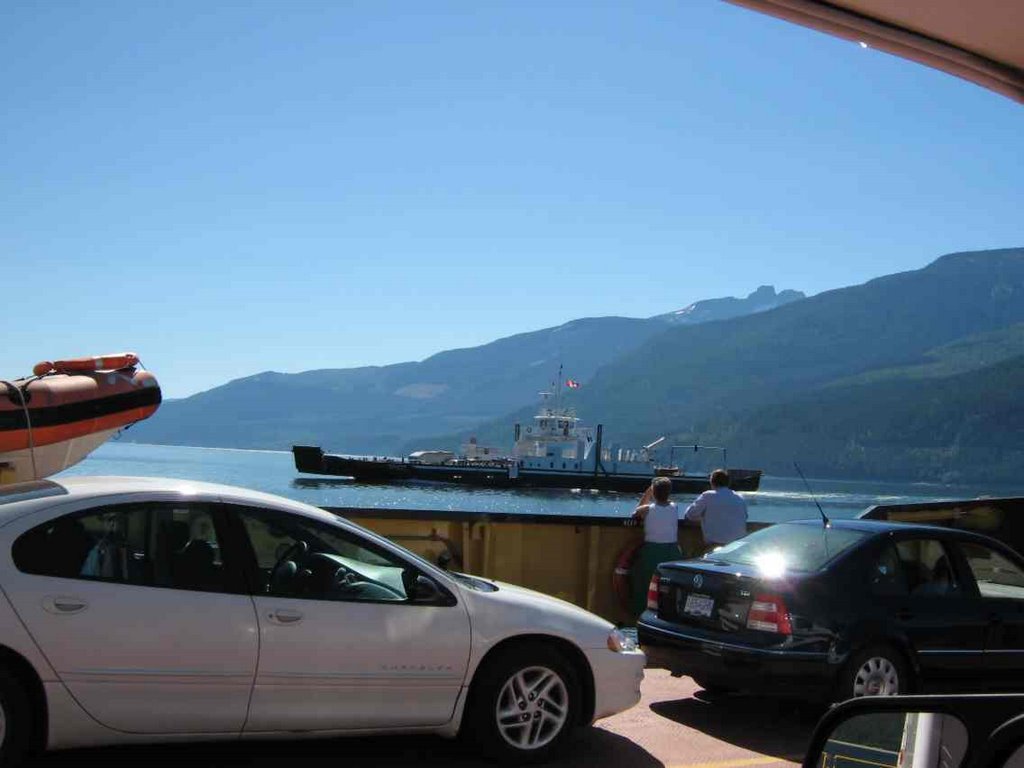
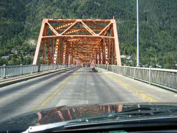
I went up Friday evening right after work. The drive was very scenic as always, but a bit hazy from all the forest fires in Washington state and southern B.C.
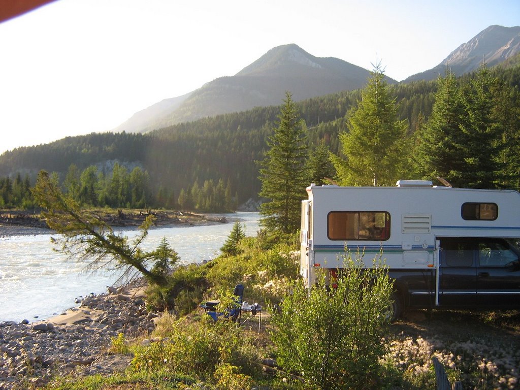
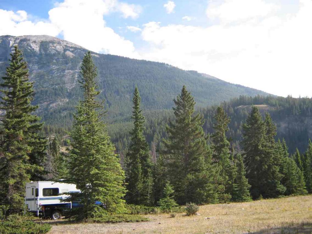
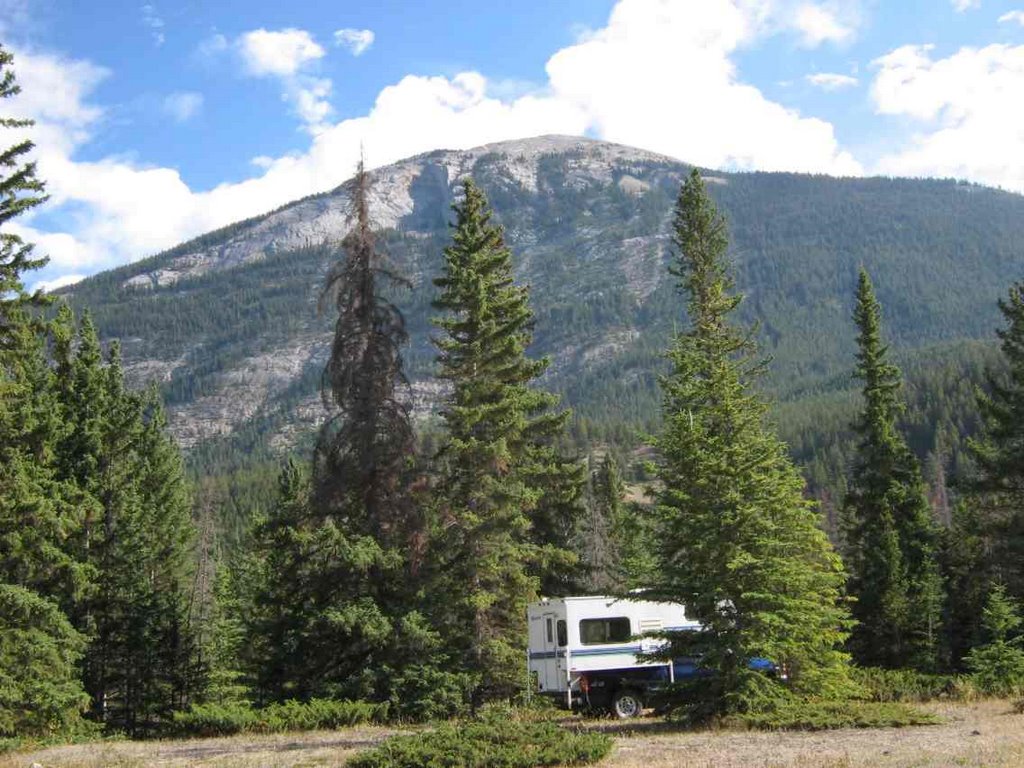
Cruised through a couple of old (and new) hangouts, but did not find anyone that I knew. Grabbed a bite and headed out to the horse pasture near town that serves as the location of the world famous (?) Jasper Warden Days! A few campers were already on scene, so I pulled in and built a nice fire - which lured a few hardy souls out of the assorted campers and tents nearby for a discussion of how we would fix the Parks if we were in charge. And it does need fixin'.
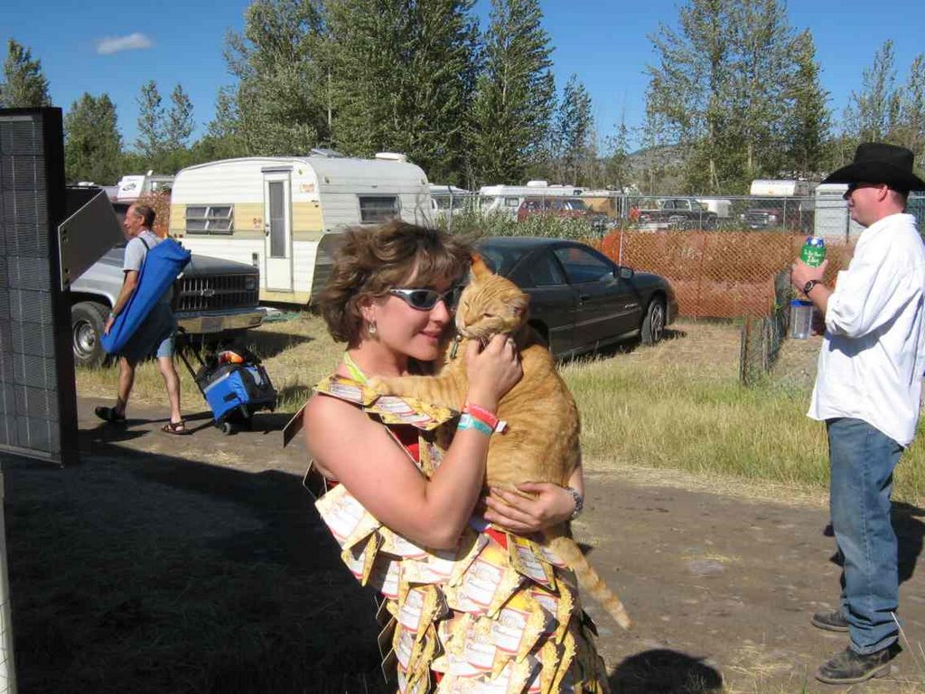
But I digress. Lots of fun was had by all, the retirement of two wardens was celebrated, and the band played, and the people danced the night away. As usual, the after-hours party began immediately afterwards and featured several violins (fiddles?), guitars, an accordian, a flute, and likely a few harmonicas.
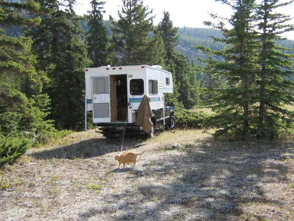
Camping was random, amongst the trees and piles of horsey poop. Can I say that in a blog?
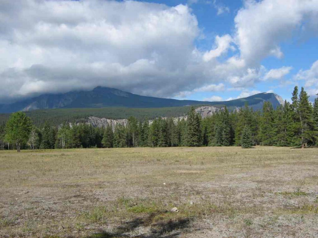
Made a quick trip to my old home at Maligne Lake on Saturday before the competition got rocking, then played the 'tourist' on the way home on Sunday. Visited the now almost deserted Athabasca Falls station. Pretty sad to see it that abandoned and run down.
Incredible warm sunny weather for this time of the fall, so I enjoyed the trip all the way home.

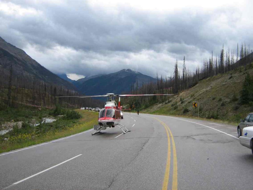
Stay tuned for the next installment called 'Fire on the Boundary', featuring lots of helicopters bucketing a fire right on our park boundary! No flames, just helicopters. Okay?
Don't forget to review all the great Google ads for related goodies.
'Harley on a sign' back by popular request!
Don't ask me about Hewlett Packard customer service. Because, well, there is none. Luckily my home computer (Sony) is working just fine!

Monday, September 4, 2006


I like this idea of getting long weekends every second week! I had a few options in mind for the long weekend, but family considerations trumped the others this weekend. I left a day early and drove down through Cranbrook and almost to Yahk. Had been out early in the morning mountain biking and hiking in 6" of fresh snow in the mountains, looking for a missing hiker, so when I found a quiet rest stop off the highway, it didn't take much convincing to stop for the night. Next morning through Creston and the Salmo-Creston summit and Kootenay Pass (1774m), however high that was - I think it was around 5600'! Then on in to Trail - where I used to work briefly, many years ago, and to Rossland - home of Red Mountain and a flurry of extreme condo development.

I travelled north from Kaslo, BC on highway 31. Well, highway #31 is pretty interesting - for a numbered provincial highway! Even in the Kaslo area, it is not that wide as it follows along between the frequent cliff faces and the lake. It is very scenic, though, and there are several provincial campgrounds along the way. Once past Meadow Creek, however the road becomes essentially a gravel logging road, in many places barely one lane with no speed signs, curve signs or warnings other than 'no services' ahead.

While the road is not nearly as rough as some I described in Mexico (see Feb 2006), there are some weird similarities. I was puttering along at about 60km/hr when I came to a construction ahead sign with a 70km/hr speed limit! I resisted the urge to speed up to comply with the limit, but then I found that all work had stopped for the weekend. The true safe speed through the construction zone - which was repairing sections of the road washed out by the Lardeau river - was about 20km/hr. The road was posted with warning signs that specified the proper radio frequency (166.080) to use to avoid getting run over by logging trucks. This is kind of strange on a provincial highway, but totally expected on an active logging road. Since there was no log hauling evident, I did not bother digging out my 2-way radio, but I wondered what the average tourist was expected to do? Unlike the 'safety boulders' used so efficiently and effectively in Mexico, the BC method of marking hazards is positively high-tech. Orange plastic bags with some sand in the bottom. That's it!

My last attempt at getting online had been at Ainsworth Hot Springs, but my mouse was acting up, or so I thought, so I gave up trying. Also found some signal in Trout Lake, but did not realize at the time that all the USB ports on my HP Pavilion dv8000 notebook had malfunctioned, and I was trying to use a USB wi-fi adapter instead of the built-in one. Unfazed (well, not really), I carried on towards Beaton. I had heard that the St. Leon hot springs on the way to Nakusp were now closed to the public, and sure enough, there was a no trespassing sign at the start of the St. Leon forestry road. Bummer. A very nice backcountry spring that was one of my favourites.

I glassed across the lake from Ainsworth and checked out a nice primitive campground at Eagle bay, but there appeared to be a lot of campers there due to the long weekend. So I drive right on to the Galena Bay ferry without any wait and headed for Revelstoke again. Decided then that I had best not miss the Brent Lee Band playing for the weekend at Wild Bill's in Banff, so I headed there direct with a stop at home in Lake Louise for a shower and clean clothes. Another excursion comes to an end.

Monday, August 28, 2006


Still haven't tried out Google Earth?
What are you waiting for?
(Unless you have dial-up; sorry)


Here is a good introduction story about this great (free) program.
http://www.slate.com/id/2148229/nav/tap1/
http://earth.google.com

Sunday, August 27, 2006


Back at work for a few days, and the bears are keeping everyone on their toes because lot of them are down in the valley bottoms and roadside trying to get fat for the winter.
A few years ago we had a float plane go down in the park, suffering from a blown engine. The pilot made a remarkable landing on the gravel flats with the floats, and walked away from it. Just a couple days ago, another plane was reported down, and we went in and picked up the pilot, who was fortunate to be unhurt as well. (Plane id's removed to protect privacy) At least it was a beautiful day for a plane crash. We had the lat long's of the downed plane, so finding it was easy - especially with the Google Earth map I printed out to take along as reference.
Today, in an unrelated test project, I have been monitoring a colleague's field locations all day via the internet. The gps-enabled transmitter sends it's locations to satellite at regular intervals, and that location can be monitored online and mapped using Google Earth or Google Maps or Ozi Explorer. Pretty cool technology!

Tuesday, August 22, 2006


On Saturday we headed further north up the valley to see what it had to offer.
Halfway up the road detours about 5km to the east, to go around the Downie creek arm of the lake.
Then Gold Stream and finally, in the middle of nowwhere is Mica Creek - which is the remains of the dam construction camp, but still inhabited by BC Hydro employees who work around the dam. They even have a mess hall where you can get meals (at meal times), but I did not test the fare. I did discover some wi-fi, tho, which enabled me to post the previous update! The dam is pretty impressive and is one of the largest earth-fill dams you'll see and is 670 feet high! It was completed in 1976 and created Kinbasket lake, stretching 216 km from Valemount in the north to Donald Station in the south, and covers 427 square kilometres.
Almost immediately below the dam is the start of Revelstoke lake - which runs 150km to the south, ending at Revelstoke (dam).
The paved road ends right at the dam, but I checked out a couple of Forestry rec sites just a ways further up the road.
They weren't that great, so I headed back south and eventually selected a free site on the south side of Downie arm.
It was a nice site, with 180 degree view of the water and a nice little sandy beach. Only a few fishermen were camped nearby.
Had a nice campfire overlooking the lake and listened to some owls hooting in the woods behind. Strangely, have not seen a loon on this lake despite an apparent abundance of fish. Saw a family of merganzers at Carnes Ck, but that's it.
Perhaps the banks are to steep for nesting, but sure missed hearing their calls. Even though the traffic on the road was strangely quiet even for a sunny weekend in the summer, that ended sometime after midnight on Sunday! Not sure if it was Hydro staff getting back to work in
time for Monday morning, or logging crews resuming (likely both), but after midnight, the road got quite busy, which didn't do much for the serenity of the area! Them's the breaks, I guess! Another lazy blue-sky day on Monday.

Saturday, August 19, 2006


I know it is only for an extended weekend, but it sure feels good to get back on the road again, hey Harley! Had another 5 days off to kill, so pulled out the old maps to find somewhere interesting to go. Decided that since I had never been up north of Revelstoke, and the map looked interesting, the weather good, it would be just the time to check it out. Quick stop at Tim Horton's in Golden on the way. The road (highway #23, actually) runs right along the side of Revelstoke Lake for almost 150km, and I was pretty sure it would be paved. Sure enough, the road was in great shape, and yes, it was paved! And the traffic! Well, about 2 vehicles per hour was it! And lots of very nice Forest Service rec sites along the way, as well as Martha Creek Provincial Park. Martha Creek was full, but was way too busy anyway. Settled in to a beautiful 'view' site in Carnes creek rec site. At $10. you could afford to stay all month. A few families were there as well as quite a few anglers who were trying their luck in a number of small boats. A beautiful sunset, and a full view of the southern sky in case the satellite dish wanted to fire up Sat by the fire till the stars were shining bright.

Wednesday, August 2, 2006


Well, well, hasn't it been a while? January thru March when I was on the road (my favourite place), I was always going somewhere, doing something and taking pictures to show you.

Since then, I have been back at work, still going places and doing things - and taking pictures, but just never seem to have the time or inclination to post anything. Also a little concerned with privacy of some of the folks I deal with at work, and wanting to be careful not to P.O. the employer by saying things that may be, well, less than complimentary!
But now, here we are in August and summer is over. Well at least the heat spell is over and the mountain tops have received a dusting of snow, to let us know that our very short summer is winding down - and that we should begin planning the expedition for this season!

Even so, the camper has been busy, and we have been out lots, but usually close to home because of the fuel prices. Did spend a week at the Merrit Mountain Music Festival (http://www.mountainfest.com/) where we met up with friends new and old.
Harley was a hit as usual, and I fenced in the area under the camper for him so he had lots of shade, and was free to visit with his 'fans' walking by the campsite