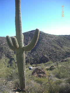
 Now this is more what it is like down here - as I come off the Apache Trail and come out at the Roosevelt Dam, holding back the lake of the same name.
 I think this tunnel is part of the old highway which used to cross on top of the old dam before it was upgraded in the 80's and 90's.
 Aview of the top of the dam from the road.
 And. looking at the front edge of the dam.
 If you click on this photo of the display, you may be able to read the history on the construction of the new bridge that diverts traffic away from the dam.
 Looking at the new bridge from the dam side - out across Roosevelt lake.
 In the beautiful Chollo campground on the lakeshore I noted that the campground hosts all had these portable power sources on litte trailers covered with solar panels. Good idea for those that don't have their own power sources.
 I think Tonto National Forest is entirely run on solar? This is one of the shower buildings with both regular solar panels for electricity, but it appears the majority of the panels are heating water for use inside.
 Every campsite has it's own little picnic shelter with roof and fireplace. From a distance, it looks like a sea of little blue roofs.
 This is another of the expensive (!) $6./night campgrounds, but you are limited to a stay of 6 months - in the winter!
 A ways down the lake was a no-hunting sign.
 And one of the many National Forest roads across the highway, leading up into the hills - and free camping!
 A shot of a map of the area, taken in the nearby visitor centre. I ended up buying the excellent atlas of Arizona recreational areas - with maps showing public lands as well as topo maps of the entire state.
 Tonto National Monument is just down the road - which protects and displays cliff dwellings in the area. They are barely visible in the background of this photo.
 The trail up to the dwellings is well worth the walk - even if the dwellings were not at the top.
 A view back down to the parking lot and visitor center.
 And out towards Roosevelt lake.
 The upper portion of the trail - dwelling are in the cave/overhang area.
 A little camera to let you know you are being watched - if you venture into any of the closed areas!
 The dwellings themselves are hard to get good photos of because the contrast is so great between the dimly lit, soot covered rooms, and the blazing sun on light coloured rock outside.
 But here is one taken from the outside to give you an idea.
Next: headed south of Tucson - and the Mexican border.
No comments:
Post a Comment