Well, the stars have aligned, the water jugs, gas and propane tanks are full, the fridge is full and the Mexican insurance has come through courtesy of Vagabundos. I left Desert Hot Springs this morning, and headed down along Salton Sea towards the border. Salton Sea is the largest Lake in California and is about 200' below sea level. Quite a change from the elevations I was at in Utah and New Mexico! Apparently at one time, the Colorado river broke through and flooded this whole area for months before the hole was patched, and formed the lake. Much has dried up and the level is now maintained by local rivers and agricultural runoff. Since it has no outlet, it is getting more and more salty!
Made my way down to El Centro, CA, and have decided that no one in the US has ANY maps of Mexico. But at least I got a good campground guide. Planning to head for the border on Friday.
Only time will tell how easily available wi-fi or internet access will be in the areas that I am going? I may be reduced to infrequent updates from internet cafes? Wish me luck and stay tuned.
Tonight: 32.81440N 115.57576N
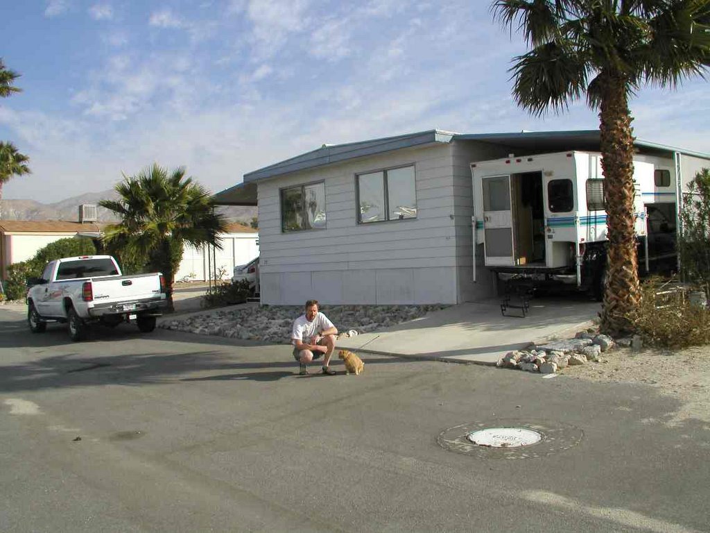
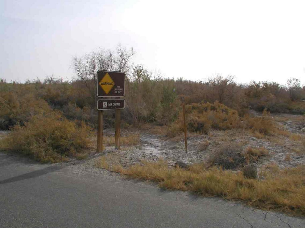
Pic of where I was hanging out in DHS, and a pic of the 'swimming area' from the past (?) on the east side of the Salton Sea.
No comments:
Post a Comment